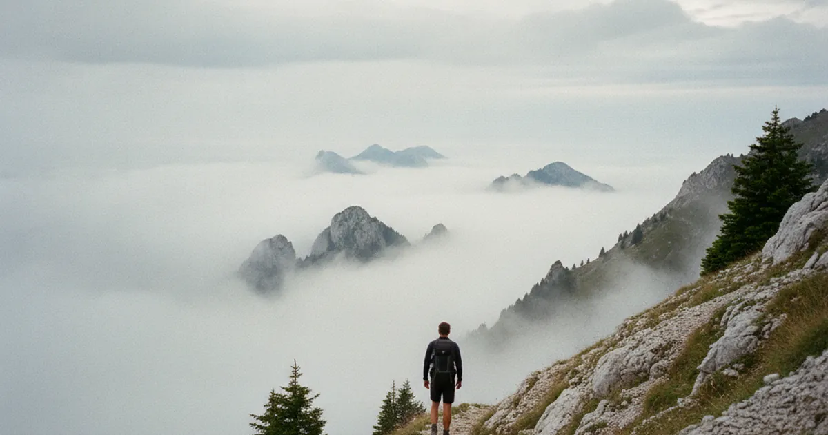
Fog is one of the weather phenomena that most often catches hikers off guard in the mountains. It can roll in within minutes, erase familiar landmarks, and turn a well-known trail into unfamiliar territory. Knowing why it forms, how to anticipate it, and what to do when it catches you out is a basic skill for hiking in Haute-Savoie year-round.
Two main types of mountain fog
Mountain fog is not a single phenomenon. Two very different mechanisms produce it, and telling them apart changes how you prepare.
Valley fog
Also called radiation fog, it forms at night when the ground cools quickly and chills the air near the surface. Moisture condenses, and by morning a sea of fog fills the valley floors. In the Giffre valley, this is common between September and November. If you set off early from Samoëns, you may pass through this low layer and break into clear sky above 1,200 or 1,500 metres. This type of fog typically lifts before late morning.
Orographic fog
This one is trickier. Humid air carried by the wind hits the slopes, rises, cools and condenses into cloud. That cloud clings to ridges and hillsides. It does not burn off in the sun. In fact, it can thicken as long as the flow keeps feeding moisture in. In the Aravis and Bornes ranges, this mechanism produces persistent fog banks on the heights, especially when a north-westerly blows. This is the more hazardous fog for hikers, because it can settle in for the whole day.
Reading the warning signs
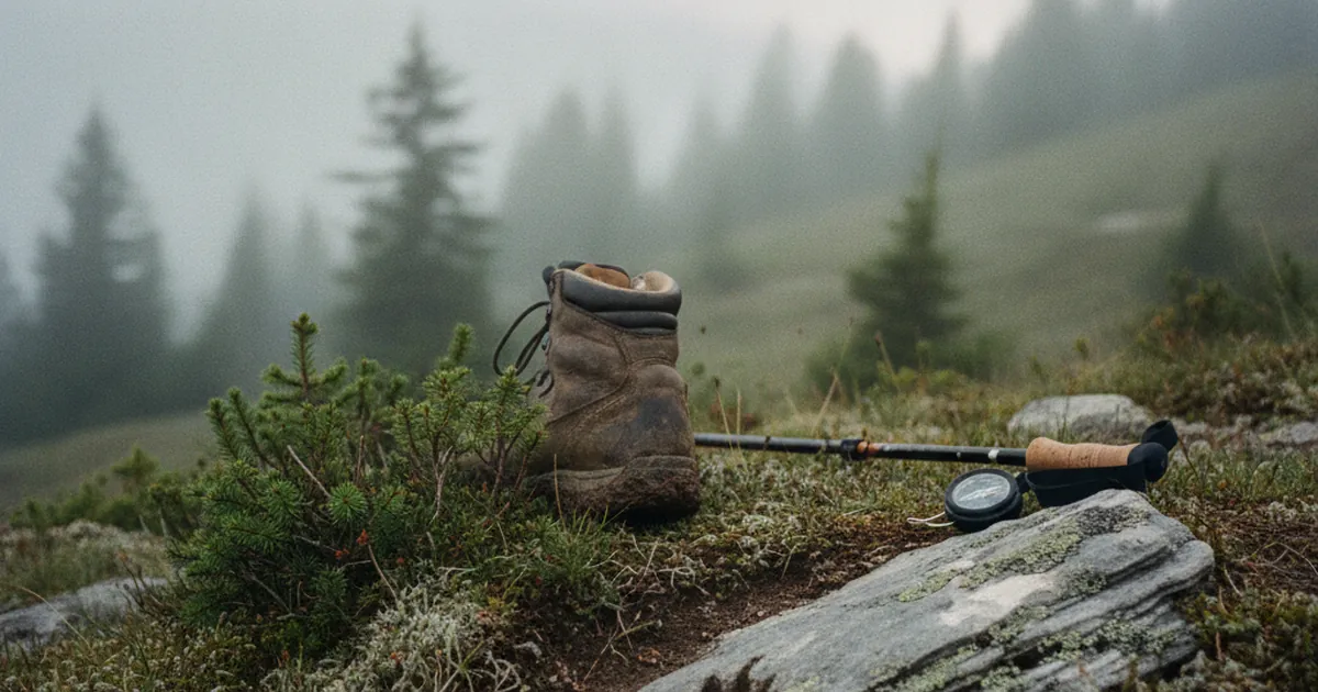
Mountain weather reads differently from low-altitude forecasts. Before heading out, check a specialist mountain forecast rather than a general plains forecast. Apps that display wind speed, cloud base altitude and relative humidity are your best tools.
On the ground, watch for these signals:
- Nearby summits gradually disappear into haze while the valley floor is still clear.
- The air feels heavy and fine droplets settle on your clothing.
- Light drops without obvious reason and contrasts fade.
- The wind shifts and carries noticeably more moisture.
These cues are not certainties, but they are enough to slow your pace, pull out the map and ready the GPS.
Navigating in fog
If fog closes in around you, the first rule is not to press on blindly along an exposed ridge or technical terrain. Stop for a moment, pinpoint your location on the map, identify the nearest landmark below you and move towards it.
A few habits make a real difference in low visibility:
- Use a compass to hold a bearing, even over short distances. Without visual reference points, you will drift off course.
- Slow down. Missteps on wet rock happen faster when you are tense.
- Stay on the marked trail. Cutting across to "save time" is the main cause of getting lost.
- Switch on your phone GPS and note your position. Do not rely on memory alone.
- Maintain voice or visual contact with the rest of your group.
On a route like Mont Veyrier and Mont Baron, the airy ridgelines above Annecy become tricky in fog. This is exactly the kind of terrain where waiting for a break in the clouds beats pushing on regardless.
Knowing when to turn back
Turning back is not a failure. It is the decision of an experienced hiker. Several criteria justify heading back:
- Visibility drops below 20 metres on terrain without solid waymarking.
- You can no longer locate yourself confidently on the map.
- The ground is slippery and the fog is accompanied by wind.
- The forecast promised clearing skies that never arrived.
On the heights above Thônes, outings towards exposed cols and ridges call for a planned escape route, worked out before you set off, not after fog has closed in. Knowing the descent on the far side, or the shortcut to a shelter, is preparation, not pessimism.
Fog as an experience in its own right
Fog also has its fans. The diffuse light, tree silhouettes emerging from mist, the muffled soundscape: the atmosphere is unlike anything else for photography. Forest trails or low-valley routes, such as Sommand from le Jourdy, take on an unusual quality when fog hangs at altitude.
In that case, pick a route you know well, stay within well-marked terrain and accept that a summit view may not be on the cards today. The goal shifts: observe, feel, photograph.
Key takeaways
Fog should not be underestimated, but it should not keep you off the mountain either. Anticipate it with the right tools, read the terrain signals, prepare your navigation and be ready to say "time to turn back" when conditions demand it. The mountains will still be there, and clearer days are ahead.