Sharing your live track with someone close
Apps and beacons that let someone close follow your progress in real time.…
Read article →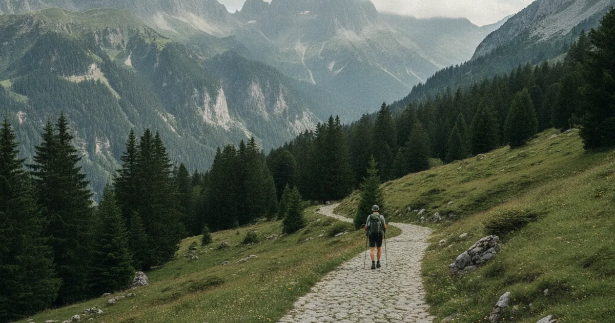
Old mule paths of the Faucigny
These paved paths once carried goods. Many are now hiking trails.…
Read article →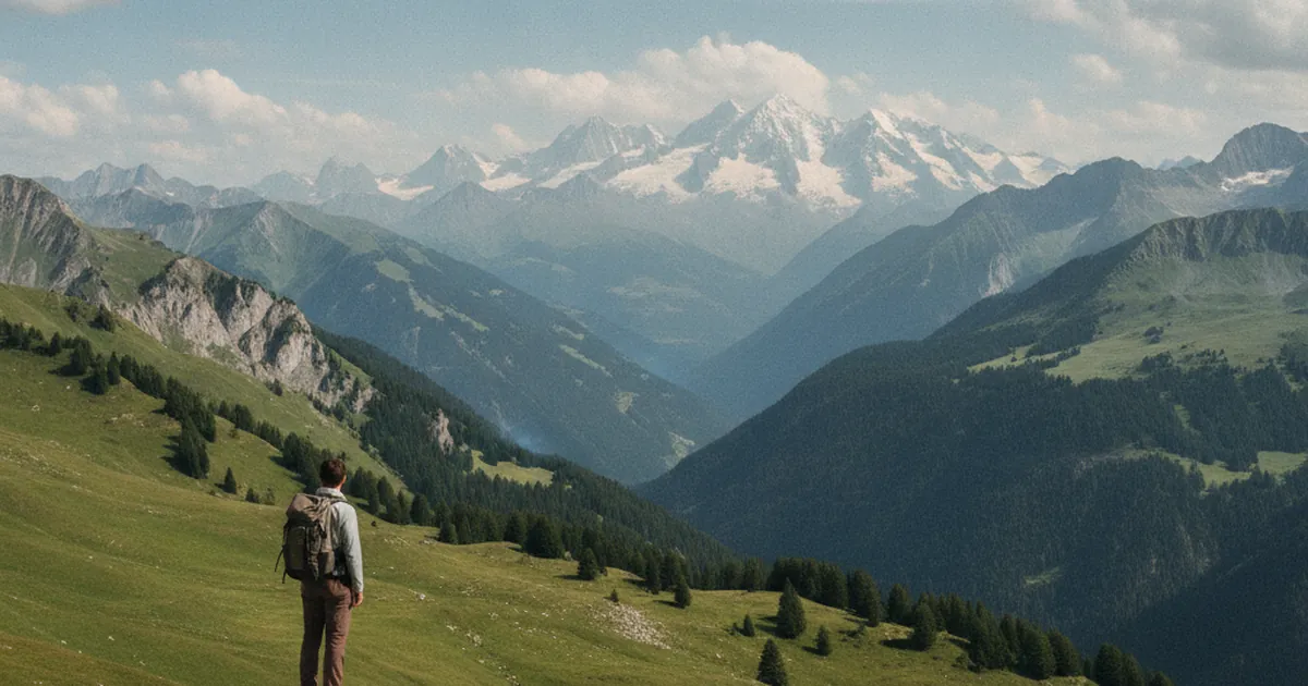
Mont Blanc: hiking viewpoints
You don't need to be a climber to see Mont Blanc up close. The finest viewpoints on foot.…
Read article →
Deer rutting call: where to hear it in Haute-Savoie
From mid-September to mid-October, the deer rut echoes in some areas. Where, when, and how to behave.…
Read article →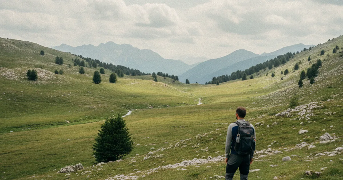
Sommand plateau: accessible trails
The Sommand plateau offers easy hikes on open pastures, perfect for families.…
Read article →
Reading a GPX track before you go
Analysing a track before the walk helps anticipate technical sections, timings and water points.…
Read article →
Wayside crosses: quiet heritage symbols
Planted at crossroads, wayside crosses once guided and protected. A small heritage tour.…
Read article →
The Dents du Midi viewed from Haute-Savoie
The seven Dents du Midi form one of the region's most recognisable silhouettes. Viewed from here.…
Read article →
Mushrooms in the mountains: a few benchmarks
Ceps, chanterelles, milkcaps: where and when to find them, and what not to pick.…
Read article →
Hiking in the Faucigny: a distinct identity
The Faucigny is neither the Chablais nor the Arve valley. Its character deserves a detour.…
Read article →
Trekking poles: purpose and proper use
Adjustment, straps, rhythm: how to really get value from your poles uphill and downhill.…
Read article →
Summit books: the tradition
The books where each hiker signs at the summit. Origin, role, and meaning of this tradition.…
Read article →
Folds in the Giffre massif
The Giffre offers some of the Alps' finest geological folds. Where to see them.…
Read article →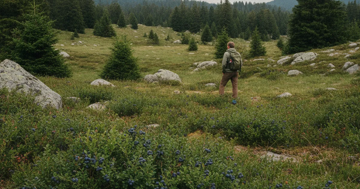
Wild blueberry season: when, where, how much
Wild blueberries are tightly regulated. Seasons, quantities and respecting the habitat.…
Read article →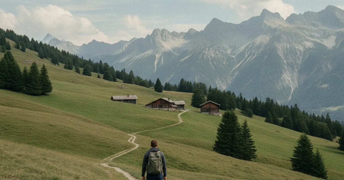
Chablais pastures: an underrated area
Chablais pastures are less famous than the Aravis but equally rich in pastoral heritage.…
Read article →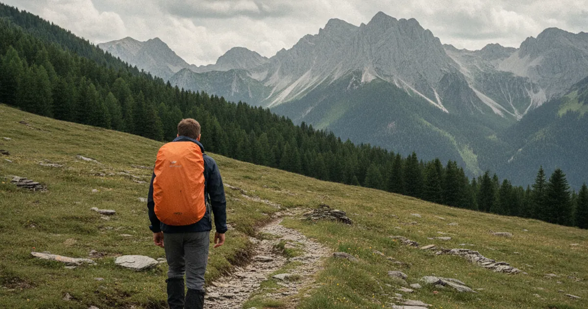
Rain gear for hiking: it's not just a jacket
Jacket, overtrousers, pack cover, gaiters: the full rain protection for a stress-free hike.…
Read article →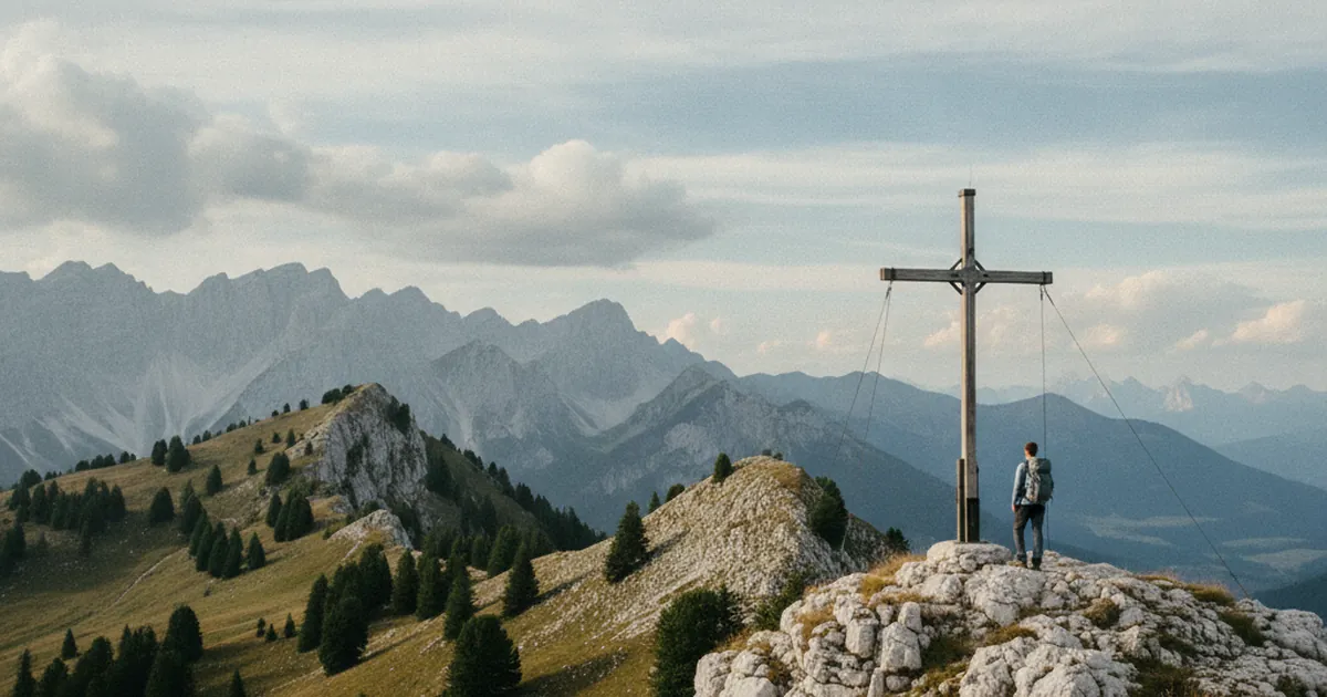
Summit crosses: history and meaning
Why are there crosses on summits? The history of an alpine tradition.…
Read article →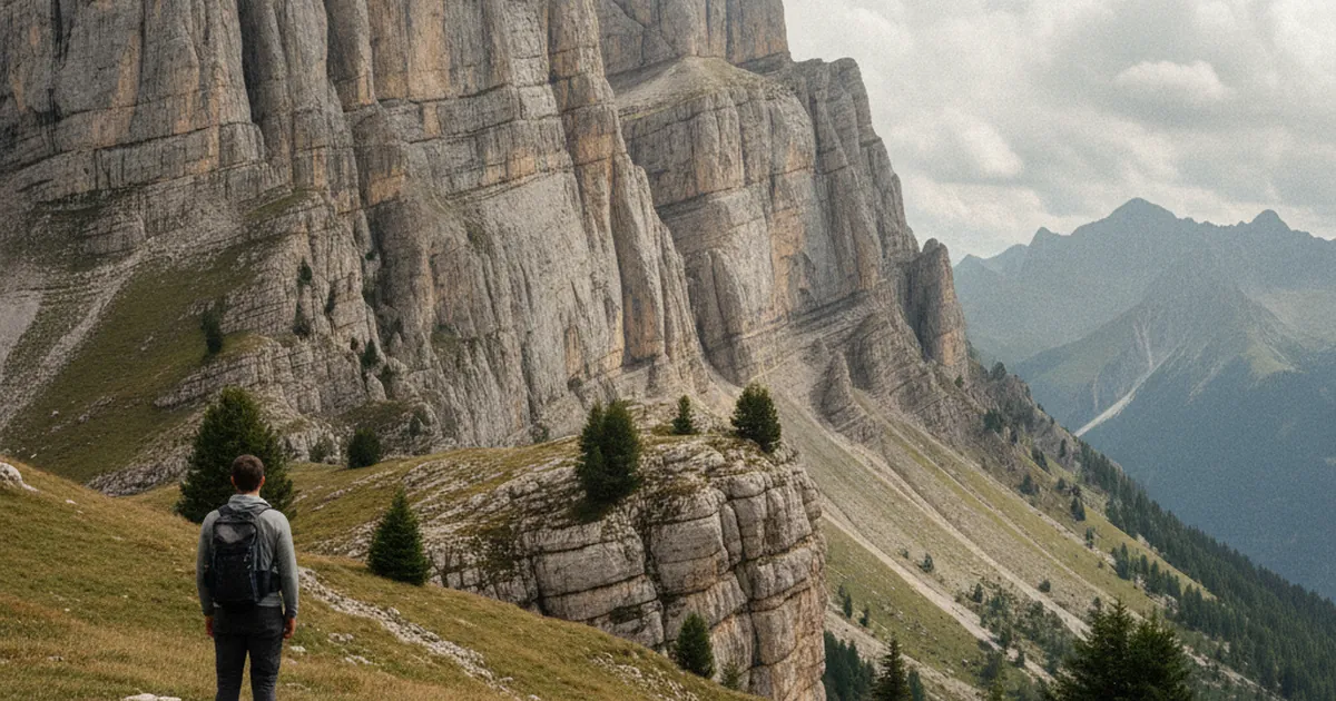
Geology of the Aravis: limestone cliffs
The Aravis are made of Urgonian limestone. How these rocks formed and why.…
Read article →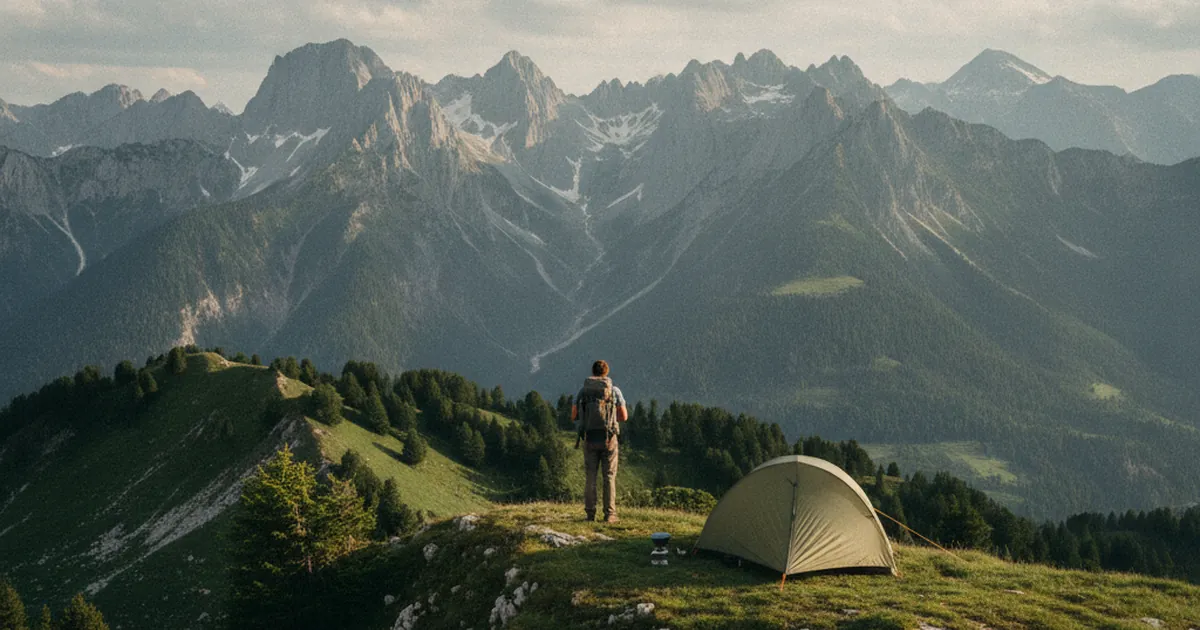
One-night bivouac: rules in Haute-Savoie
One-night bivouacs are tolerated in most areas, under certain rules.…
Read article →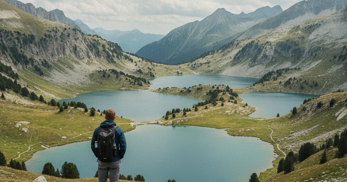
Alpine lakes of the Upper Giffre
Lac de Gers, Lac d'Anterne, Lac de Vogealle: the alpine lakes that reward the effort.…
Read article →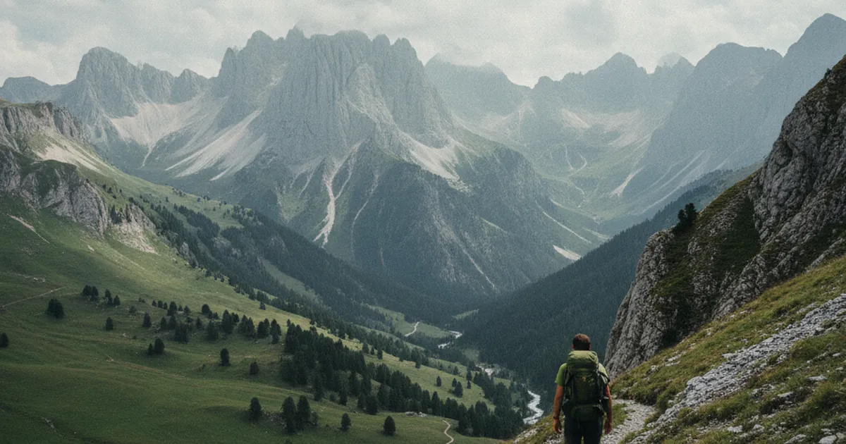
The 300 m/hour elevation rule: true or false
Is the 300 m/hour rule of thumb valid in Haute-Savoie, or should it be adjusted?…
Read article →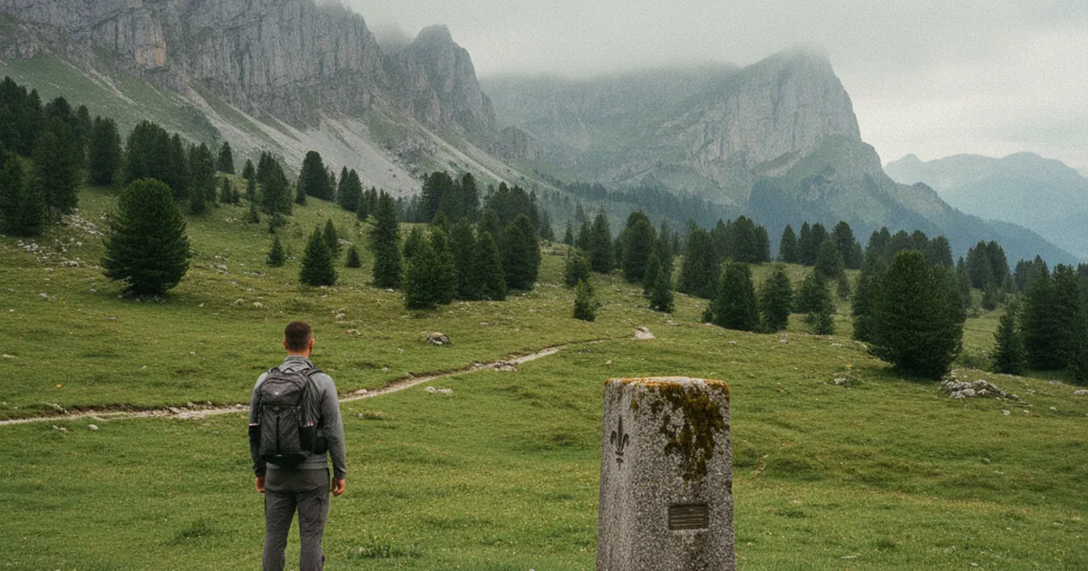
The border markers between Savoy and France
Before 1860, Savoy wasn't French. The markers of that old border are still there.…
Read article →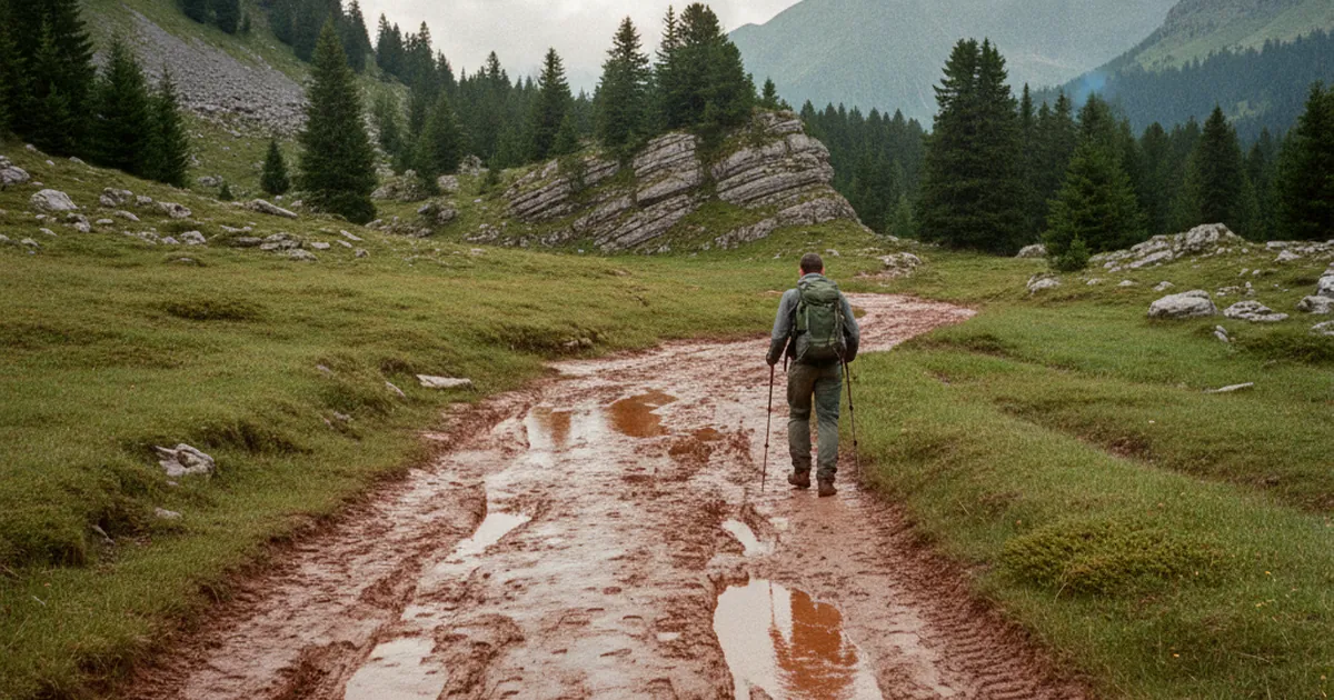
Clay soil after rain: why it's slippery
Clay is the hiker's nightmare. Why it's so slippery and how to handle it.…
Read article →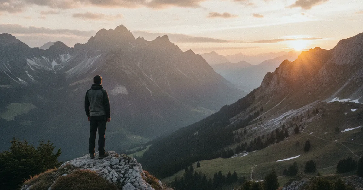
Sunrise hikes: accessible spots
The best summits to watch sunrise without a 5-hour pre-dawn walk.…
Read article →
The Chablais ridge line: reference routes
Walking the Chablais ridge line in several sections: from Nantaux to Oche, the key stages.…
Read article →
Reading a topo to assess hike difficulty
Km, elevation gain, grade: how to read a topo and really know if it matches your level.…
Read article →
Haute-Savoie place names: where they come from
Joux, Nant, Chaux, Crêt: the roots of Haute-Savoie place names tell the land's story.…
Read article →
Alpine springs: safe to drink?
Can you drink directly from an alpine spring? Precautions depending on context.…
Read article →
Moonlit hiking: a good idea or not?
Night hikes have their charm and their traps. What to know before trying.…
Read article →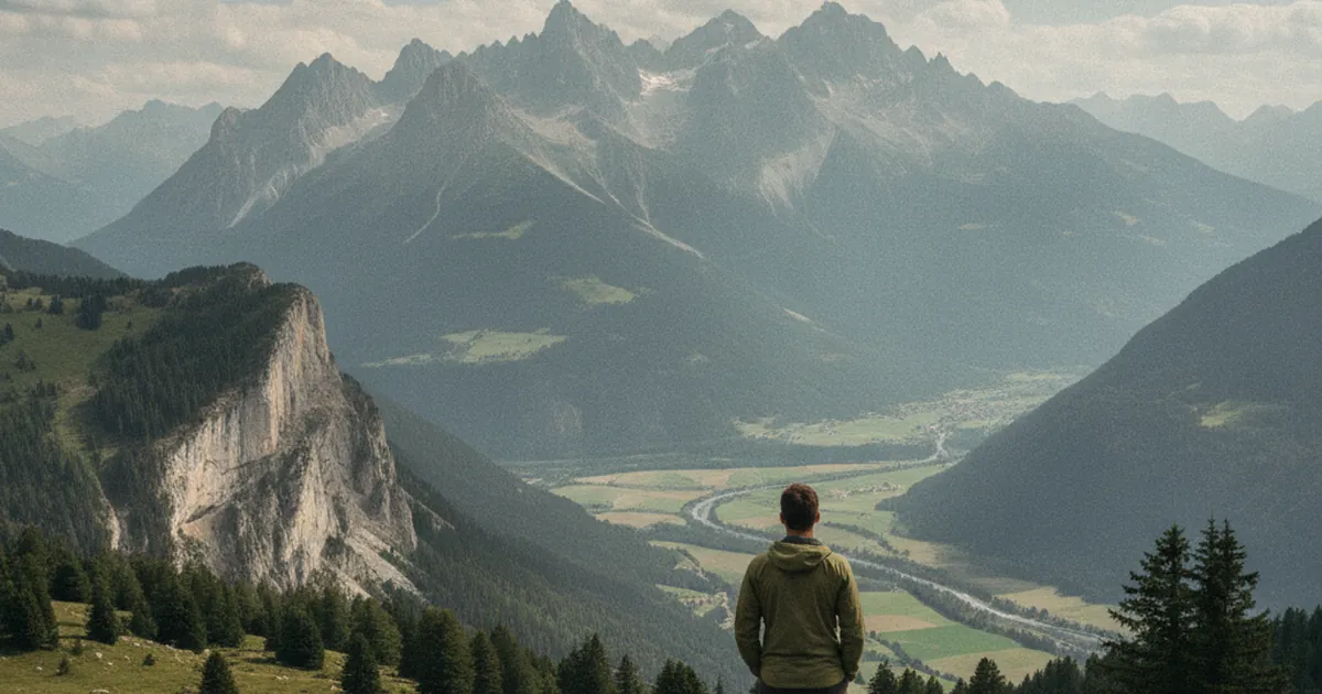
Viewing the Dents du Midi from Haute-Savoie
Although in Switzerland, the Dents du Midi dominate the whole Savoyard Chablais. The finest viewpoints.…
Read article →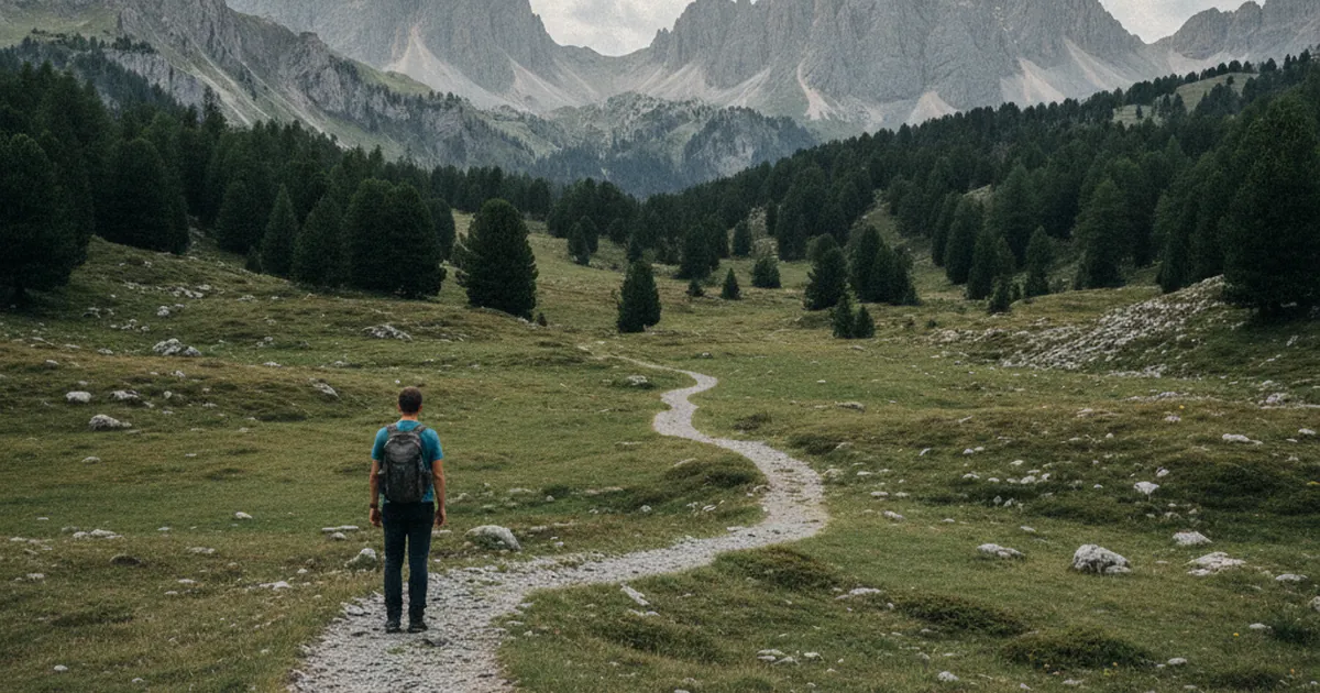
The Savoyard dialect: a few useful words
A few Savoyard patois words still seen on signs, maps, and in conversation.…
Read article →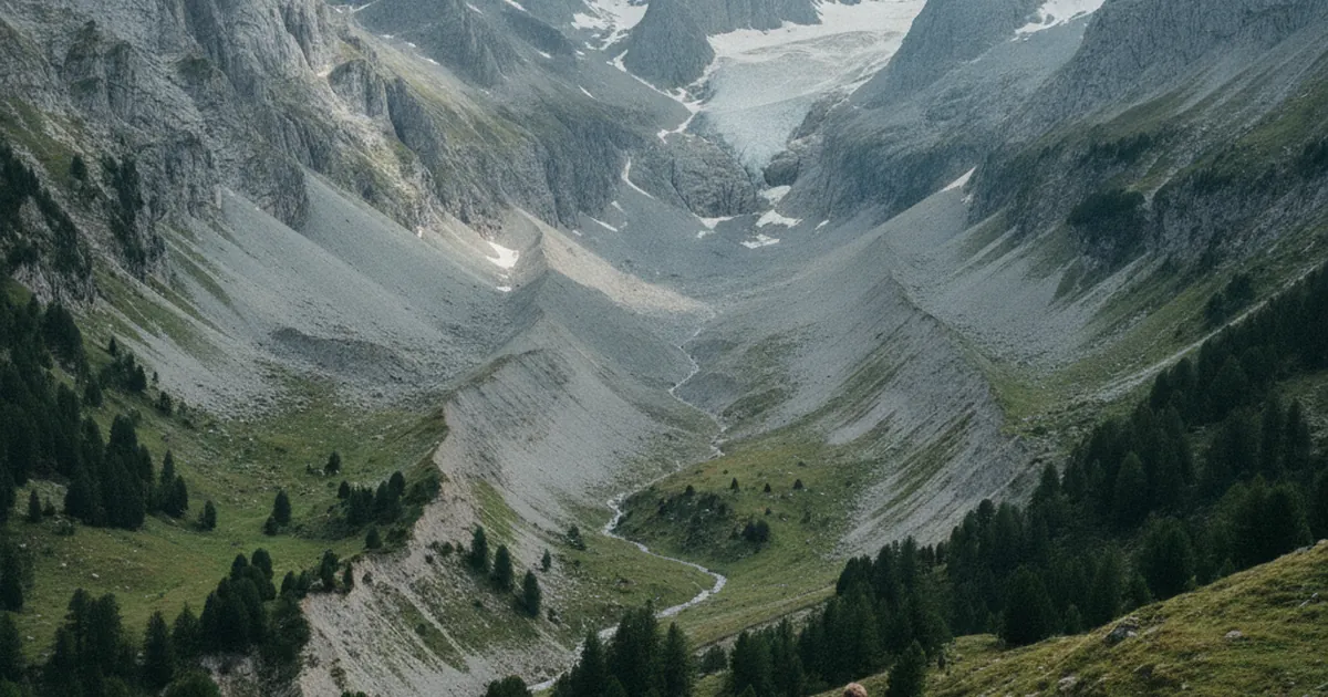
Moraines: understanding terrain shapes
Moraines reveal past glacier extent. Learn to read them in the landscape.…
Read article →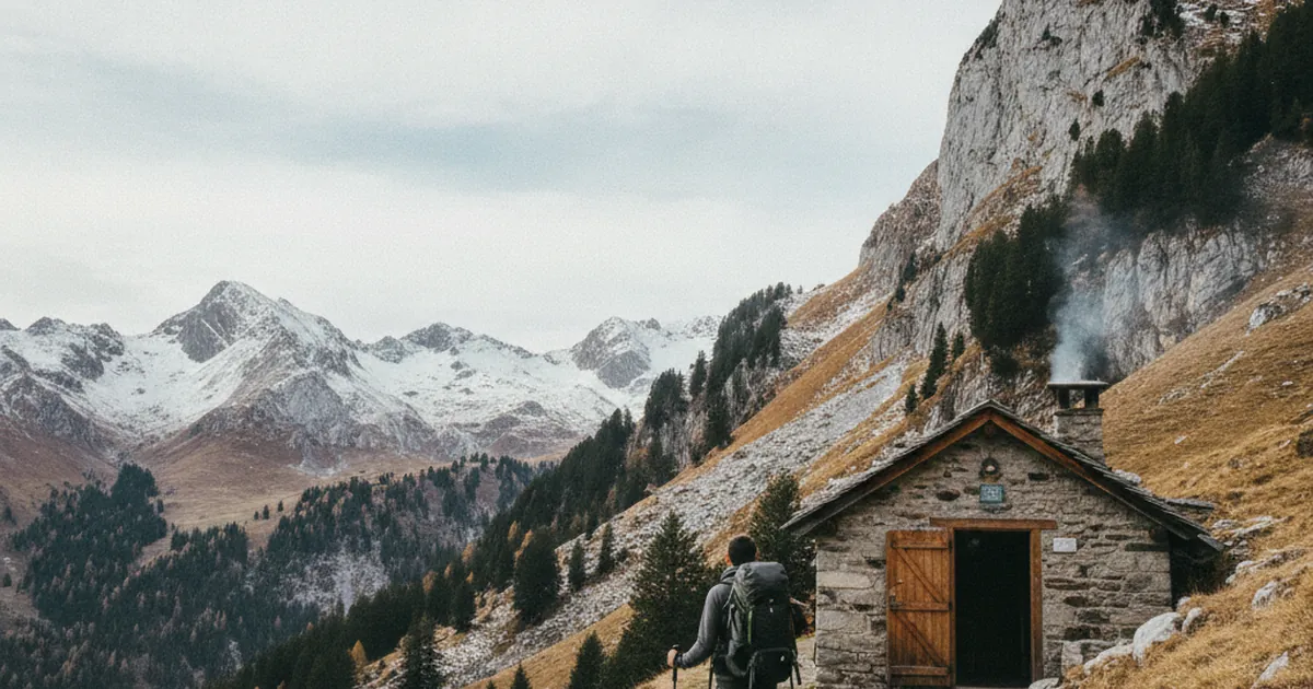
Unguarded refuges: using them off-season
Off-season, some refuges remain open on a self-service basis. Rules of use and respect.…
Read article →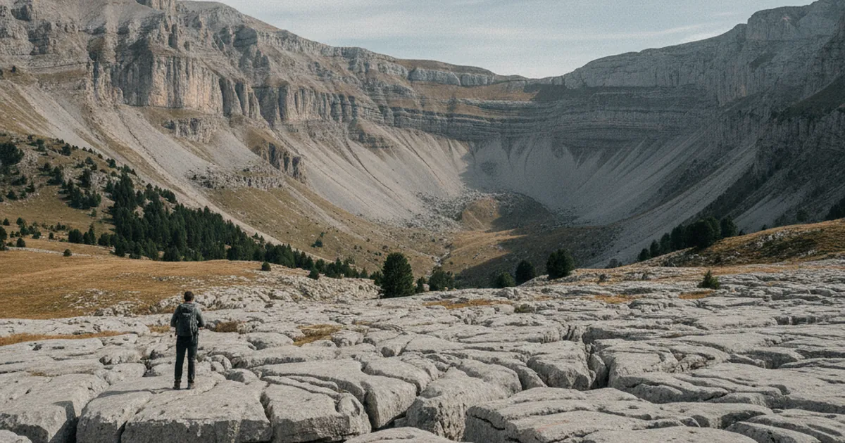
The Giffre plateau: a unique geography
Karst, lapiaz, cirques: the Giffre plateau stands geologically apart.…
Read article →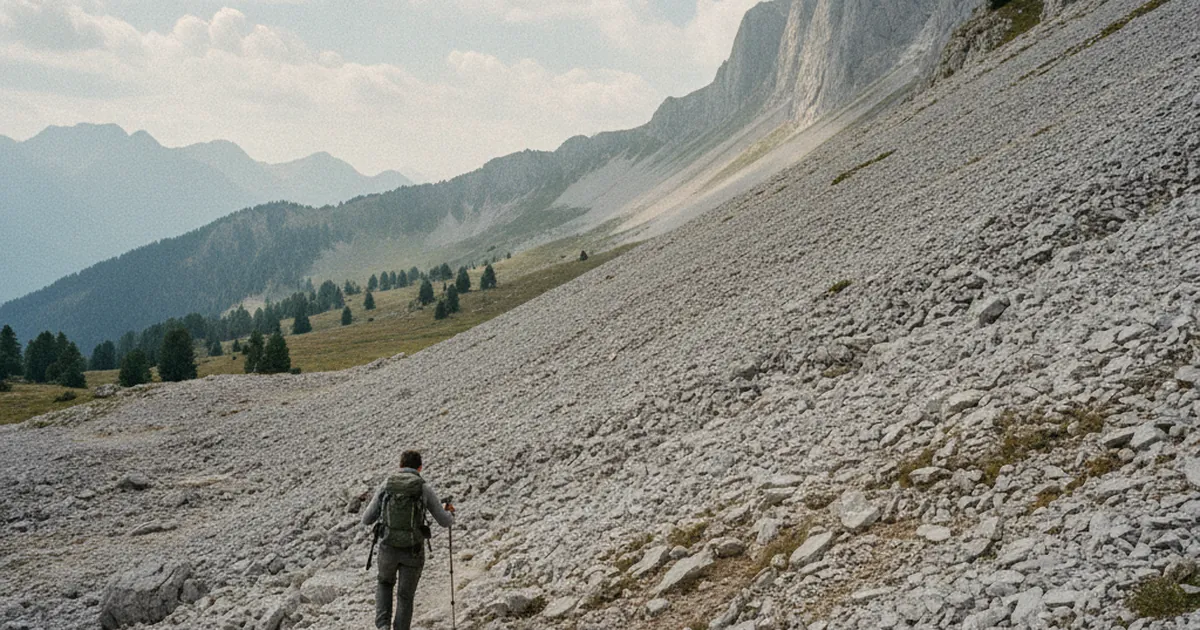
Crossing a scree field safely
Scree moves and stones roll. How to cross without injury or triggering a slide.…
Read article →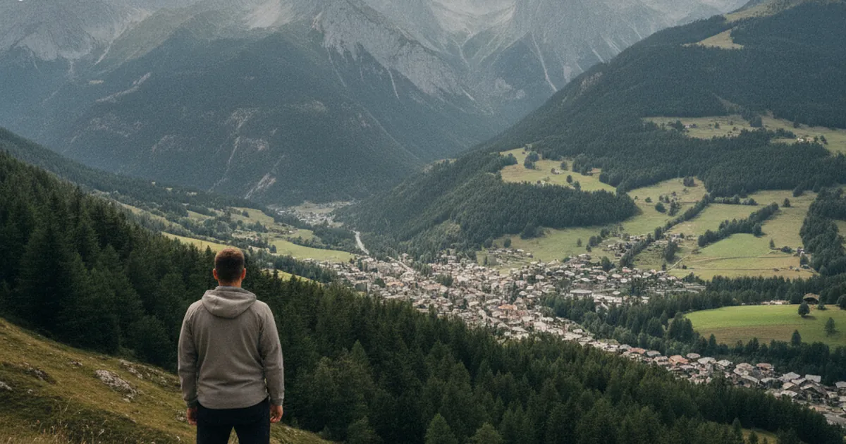
The frahans of Samoëns: the stone cutters
Samoëns is famous for its brotherhood of stone cutters, the frahans. Their story.…
Read article →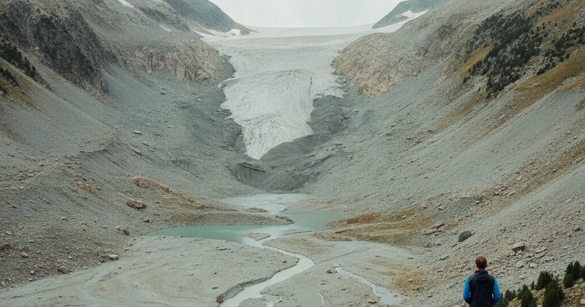
Retreating glaciers: the current state
Haute-Savoie glaciers are retreating rapidly. What can be observed concretely in the field.…
Read article →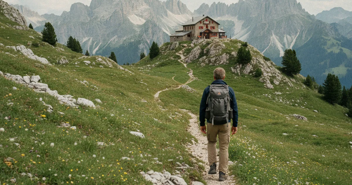
Guarded refuges: opening dates in Haute-Savoie
Guarded refuges follow a fairly uniform calendar. The key dates to know before booking.…
Read article →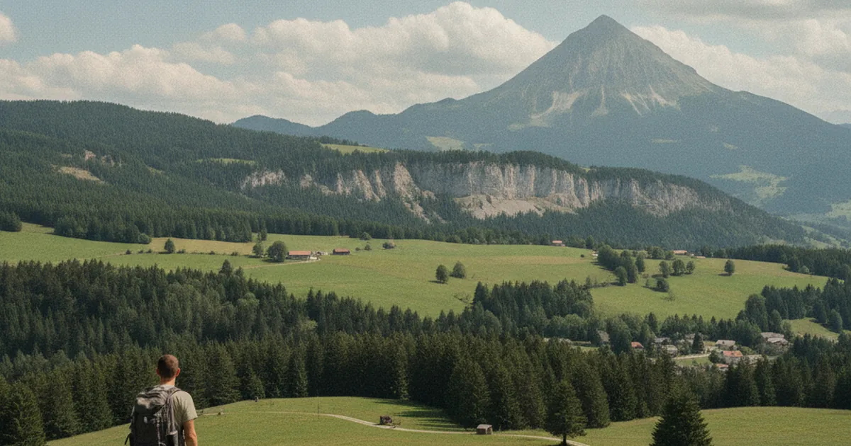
La Tour and Saint-Jean-de-Tholome: a balcony on Le Môle
These two balcony villages offer the finest approaches to Le Môle, on the sunny side.…
Read article →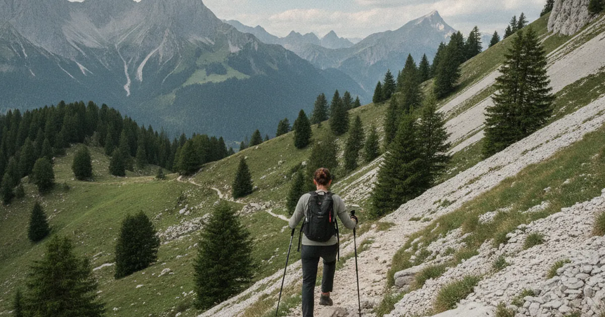
Downhill techniques on steep terrain
Downhill wrecks more knees than uphill. Foot placement, poles, posture: the right moves.…
Read article →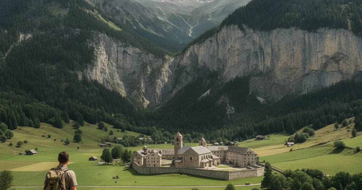
The village of Sixt and its abbey
Sixt-Fer-à-Cheval has kept its Cistercian abbey. Heritage at the heart of a remarkable landscape.…
Read article →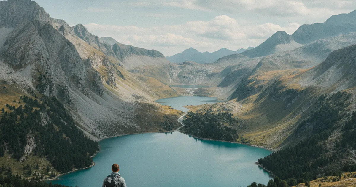
Alpine lakes: glacial origin
Most alpine lakes in Haute-Savoie are of glacial origin. The story of their formation.…
Read article →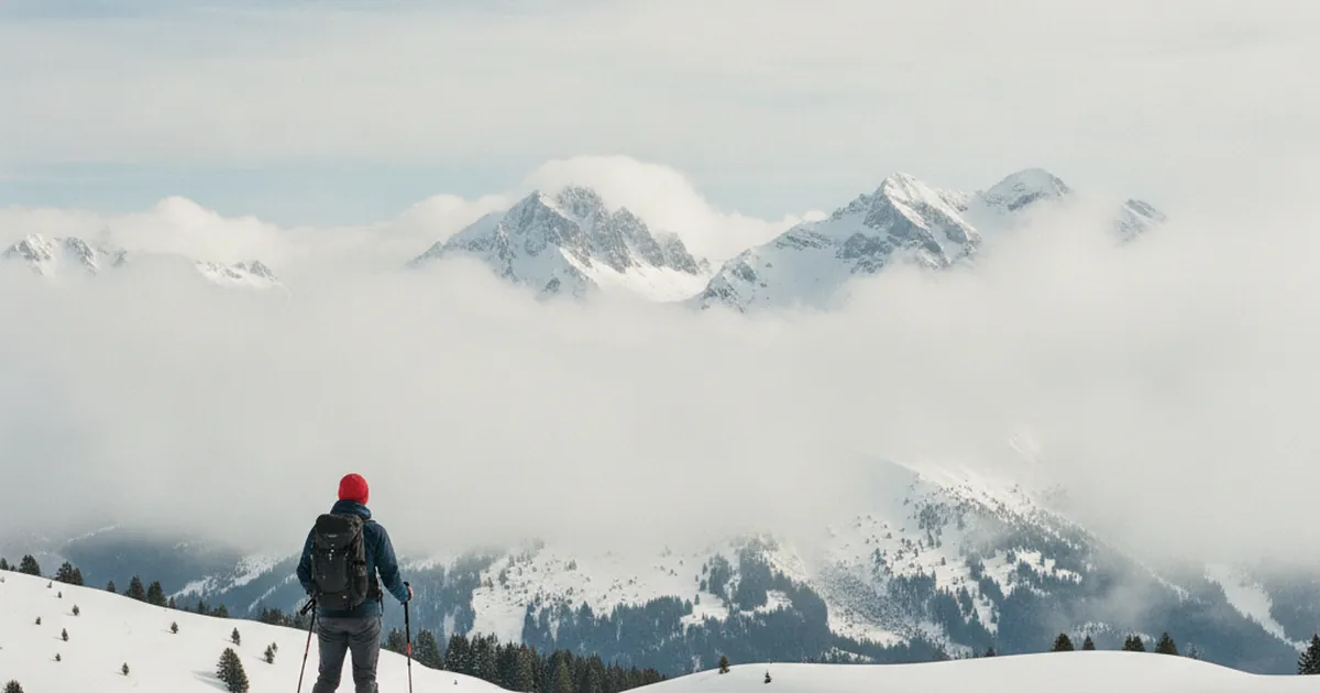
Reading an avalanche bulletin early-season
Even on snowshoes, the avalanche bulletin matters. Keys to decode it.…
Read article →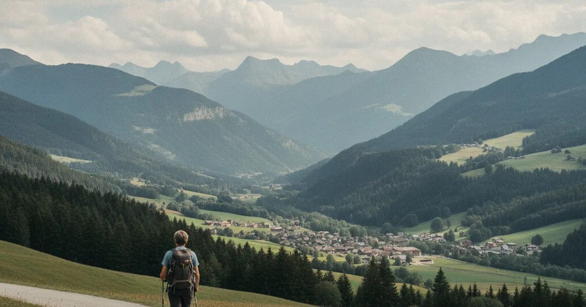
Verchaix, Morillon: family hikes along the valley floor
For easy family outings: Verchaix and Morillon offer plenty of gentle itineraries.…
Read article →
Homemade energy bars and snacks
Simple homemade energy bar recipes for hiking, with less sugar than store-bought ones.…
Read article →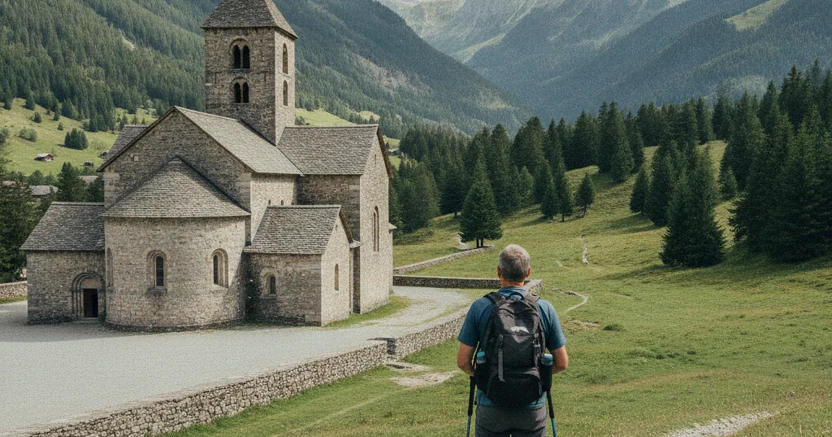
The Abondance abbey: heritage and hiking
The Abondance abbey, a medieval jewel, is a trailhead for hikes that blend culture and nature.…
Read article →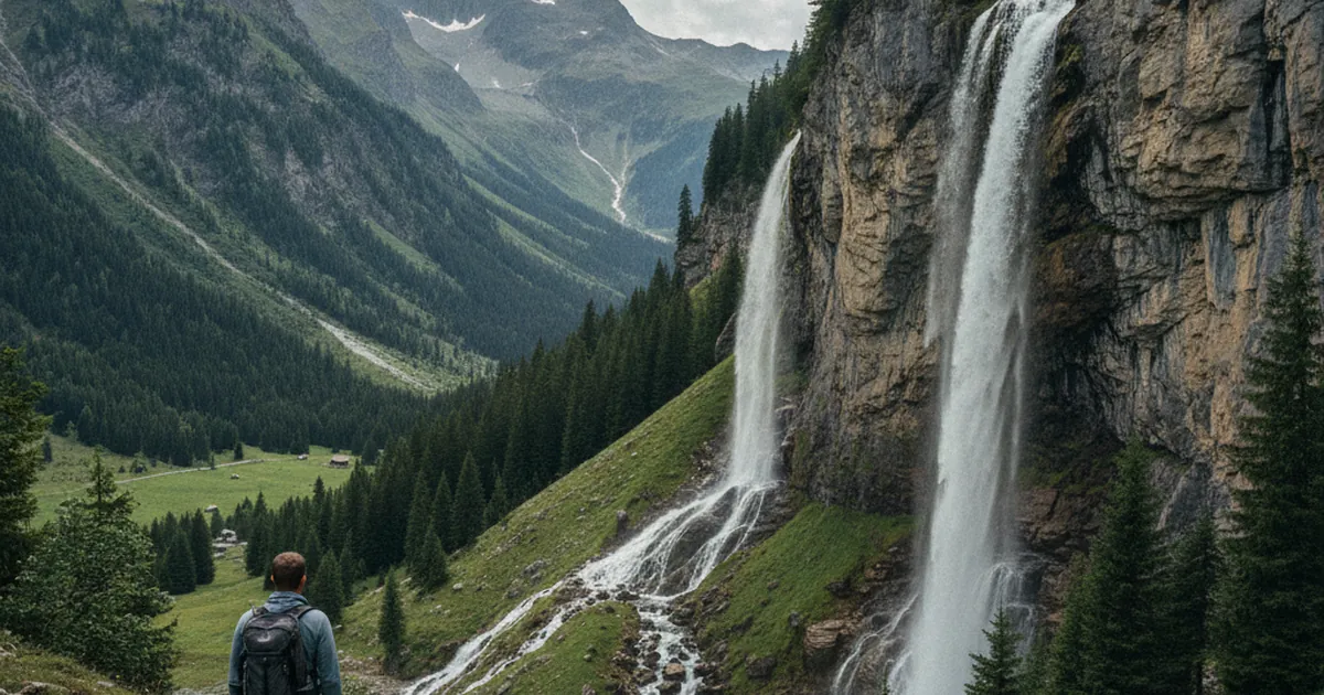
Waterfalls of Haute-Savoie: how they form
Why are there so many waterfalls in Haute-Savoie? The role of limestone and glacial relief.…
Read article →
High-altitude weather forecasts: which ones to check
Météo-France Montagne, Meteoblue, Windy: a tour of useful tools to plan an outing.…
Read article →
Mieussy, the entry of the Giffre valley
Birthplace of paragliding and entry to the Giffre: the trails to know from Mieussy.…
Read article →
Hydration on hikes: how much, when, what
How much water to carry hiking, when to drink and what to drink: 500 ml per hour, electrolytes, the right gear and the signs of dehydration …
Read article →
Reblochon: a cheese geography
The Reblochon AOP zone stretches from the Aravis to the Bauges, with three breeds and two families, fermier and laitier. Why these limits an…
Read article →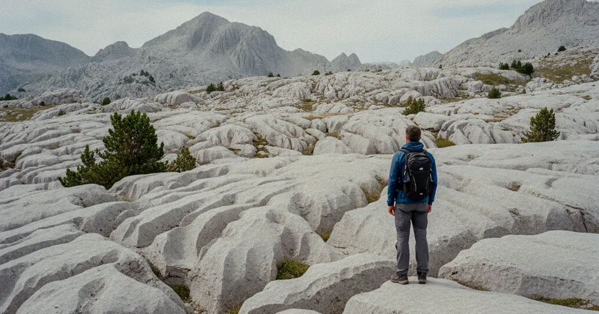
Lapiaz of Désert de Platé: a unique geology
Désert de Platé, a limestone plateau above 2,000 m in Haute-Savoie, is one of France's largest lapiaz fields. Formation and routes to discov…
Read article →
Mountain fog: understand and manage
Fog disorients and can be dangerous. How to predict it and what to do if it catches you out.…
Read article →
Saint-Jeoire and Onnion: between Faucigny and Chablais
A hinge country between Faucigny and Chablais, around Saint-Jeoire and Onnion: trails that swing from one massif to another, from Le Môle to…
Read article →
Protecting your skin from the sun at altitude
At altitude UV levels climb fast and skin burns before you notice. SPF 50+, wide-brim hat, an early start: how to protect your skin hiking i…
Read article →
Haute-Savoie fruitières: cheese and territory
Fruitière cooperatives, the backbone of Savoyard cheese: Reblochon, Abondance, Tome des Bauges. Origin, workings and visiting in Haute-Savoi…
Read article →
Scree fields: not such empty places
A scree field seems dead but hosts discreet life: wall lizards, alpine toadflax, pioneer plants and adapted insects. Observe them hiking in …
Read article →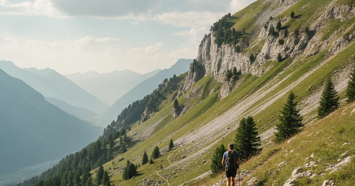
Hiking during heatwaves: adapt timing and altitude
When it's 38°C in the valley, leave early (5:30-6:30 am) and climb high: at 2,000 m it's about ten degrees cooler. Hydration tips and shaded…
Read article →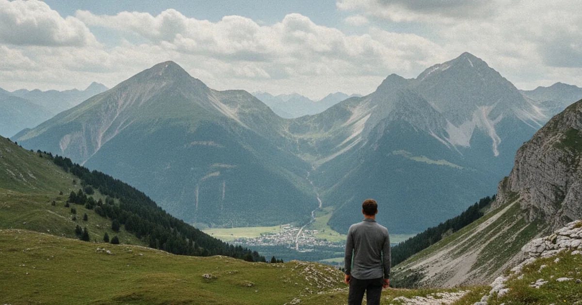
Marignier: star hikes from the valley
From Marignier, at the confluence of the Arve and Giffre, head out on star hikes to Le Môle, Mont d'Orchez, the Andey or the Pointe d'Orchex…
Read article →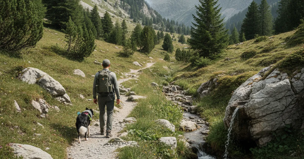
Hiking with a dog in Haute-Savoie
Which rules to follow, how to manage heat, which trails to favour and how to handle patou guardian dogs when hiking with your dog in Haute-S…
Read article →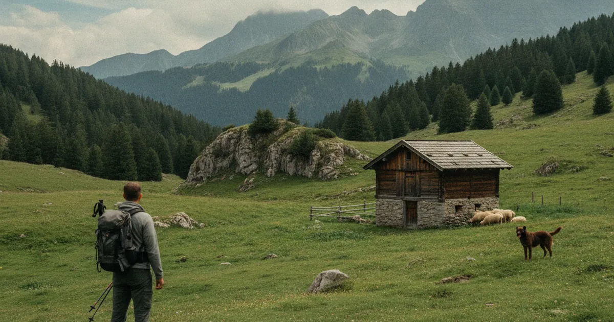
Alpine shepherds: a profession in transition
In Haute-Savoie, the alpine shepherd's trade is reinventing itself against the return of the wolf, drier summers and summer tourism, led by …
Read article →
The tree line: why it sits where it does
Between 1,800 and 2,200 m depending on aspect, the tree line in Haute-Savoie tells a story of temperature, wind and centuries of human land …
Read article →
Temperature inversion: why it's warmer at altitude
In winter, it can be 5°C in the village and 15°C at 1,500 m: temperature inversion explained, and how to gauge the cloud ceiling to hike abo…
Read article →
Saint-Gervais and Les Contamines hiking
Val Montjoie, Col du Joly, Mont Joly: Saint-Gervais and Les Contamines, the quiet, family-friendly side of the Mont Blanc massif, away from …
Read article →
Hiking with kids: ages, distances, fun
Hiking with kids in Haute-Savoie: what age to start, how far to go by age, how to keep them motivated and what gear you need for successful …
Read article →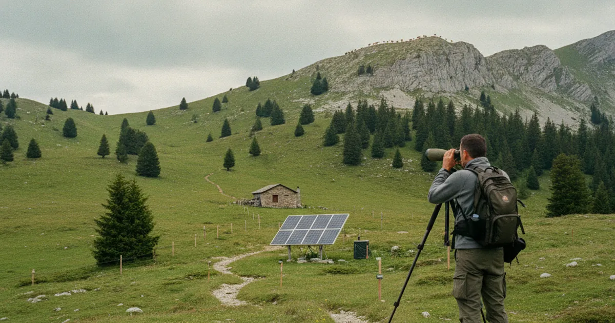
Game wardens in Haute-Savoie: their role
In Haute-Savoie, OFB agents who took over from the gardes-chasse monitor wildlife, fight poaching and enforce hunting rules: here is what th…
Read article →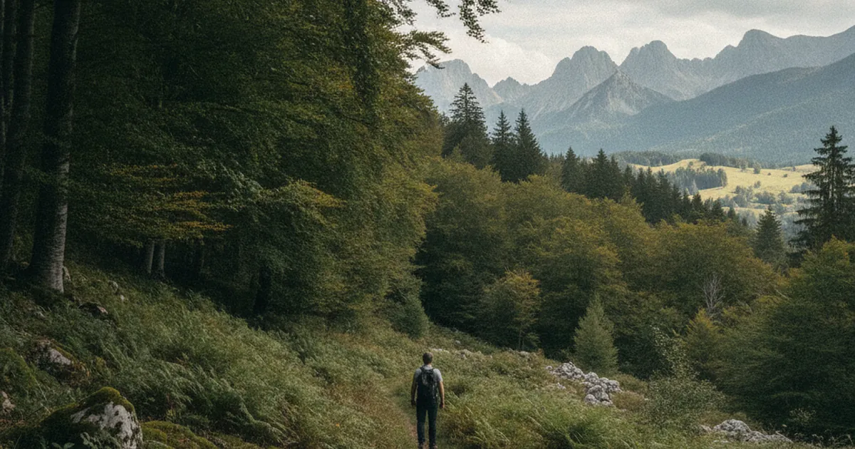
Faucigny beech forests: a unique ecosystem
Faucigny beech forests form rich, specific ecosystems, from beech and silver fir to wild garlic and the black woodpecker. Discover this livi…
Read article →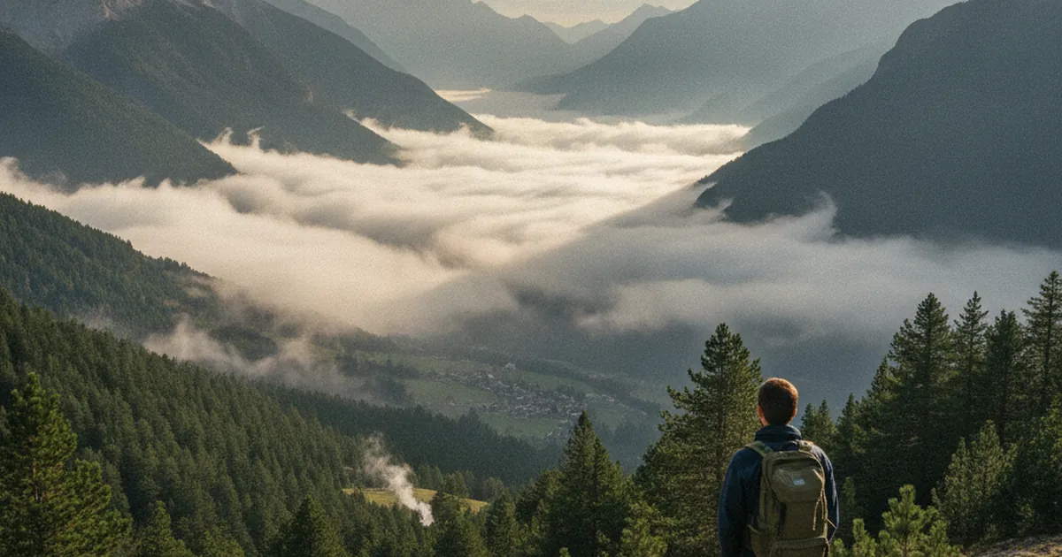
Weather windows in the Arve valley
The Arve valley has its own climate, sometimes different from the rest of Haute-Savoie. Morning windows, temperature inversions and foehn: h…
Read article →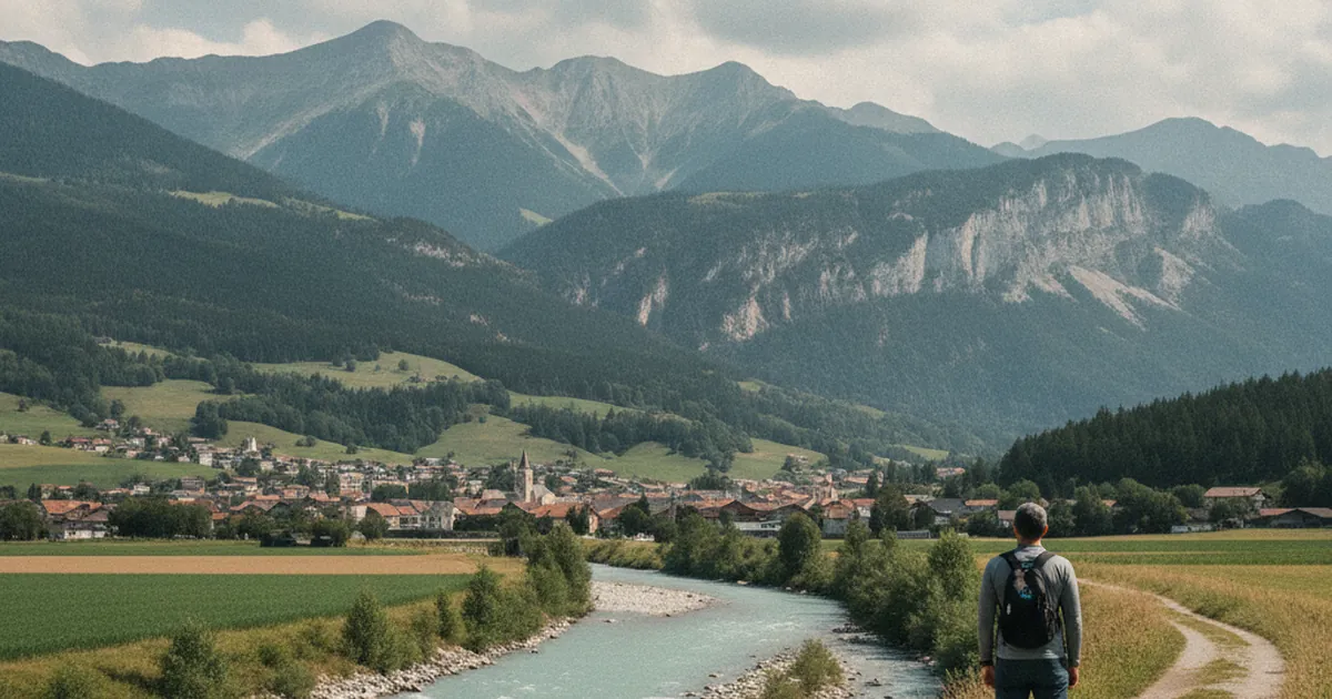
Bonneville, a valley crossroads
At the confluence of the Arve and Borne, Bonneville offers accessible mid-mountain trails (Boucle du Reray, Col du Reray, the Môle) and a tr…
Read article →
When to turn back: the art of giving up
Turning back is a life-saving decision. Weather, fatigue, terrain, timing: the concrete criteria for knowing when to turn around and head do…
Read article →
The PGHM of Chamonix: mountain rescue
The Chamonix PGHM, the high-mountain gendarmerie unit of the Mont Blanc massif, is one of France's oldest and busiest. Who they are, what th…
Read article →
The larch: why it turns yellow in autumn
The larch is the only conifer that sheds its needles each autumn. Here's why it turns yellow, and where to see its finest golds in Haute-Sav…
Read article →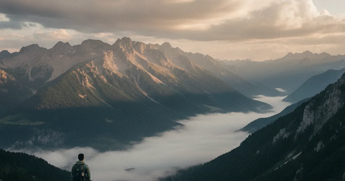
Hiking in a stormy period: shifting your day
During a stormy spell in the mountains, storms build in the afternoon: start at dawn and get below the ridgeline before 2 pm to hike safely …
Read article →
Cluses, the gateway to the Arve valley
An unloved but strategic base to reach Le Môle and the Bargy massif: discover the hikes within easy reach of Cluses, in the heart of the Arv…
Read article →
Calling mountain rescue in France: 112, PGHM, CRS
Who to call and what to say in a mountain emergency in Haute-Savoie: 112, the PGHM, the CRS Montagne, how to give your position and prepare …
Read article →
The FFRP: story of the federation
The French Hiking Federation has managed the GR trails since 1947: history, missions, GR/GRP/PR waymarking and topo-guides in Haute-Savoie.…
Read article →
The Swiss stone pine: the high-altitude tree
The Swiss stone pine grows only above 1,800 m and reaches 2,600 m. In Haute-Savoie this tree marks the top of the alpine forest and can live…
Read article →
Late-season snowfields: where they hide until July
In Haute-Savoie, some gullies and north-facing slopes hold late-season snowfields until July. How to spot them before you leave and cross th…
Read article →
Chamonix beyond the iconic trails
Beyond the classic crowds, Chamonix hides quieter trails: the Aiguilles Rouges, Argentière, Vallorcine. Tips for hiking Haute-Savoie away fr…
Read article →
Universal distress signals in the mountains
How to signal your position and distress in the mountains, with or without a phone: arms in a Y, whistle, mirror, signal fire and calling 11…
Read article →
The first French topo-guides
From 19th-century travel guides to the FFRP topo-guides created in 1947: the story of the object that made hiking accessible across France.…
Read article →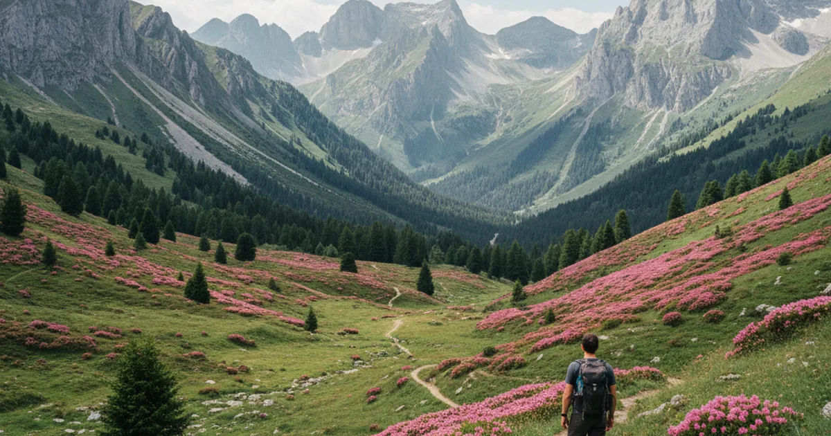
Rhododendrons: the June-July show
From early June to mid-July, rhododendrons turn Haute-Savoie's slopes bright pink. Where and when to catch the best show, from the Giffre va…
Read article →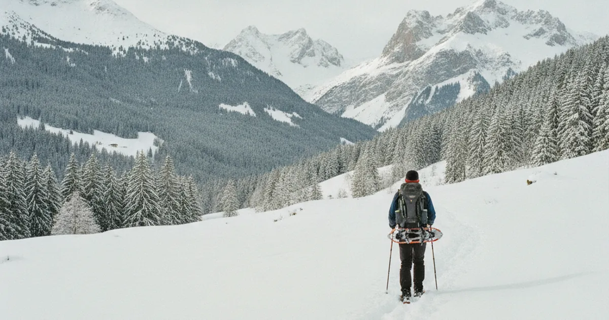
Switching to snowshoes: when and where
At what snow depth and in which area do you switch to snowshoes in Haute-Savoie? Depth, slope and time of day: the practical benchmarks to h…
Read article →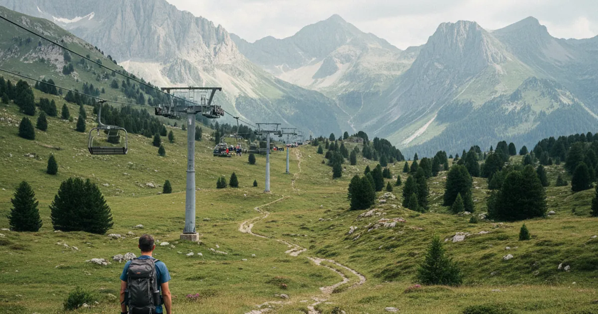
Morzine and Les Gets in summer hiking mode
In summer, Morzine and Les Gets, the Portes du Soleil resorts, become a hiker's paradise: open lifts, waymarked trails and flower-filled alp…
Read article →
Lightning on a ridge or summit: the right reflexes
Storm in the mountains: what to do if lightning catches you on a ridge or summit. The lightning crouch, the 30/30 rule and mistakes to avoid…
Read article →
The conquest of Tête de Bostan
The Tête de Bostan summit (2,400 m) above the Giffre and Morzine has its own mining history. Toponymy, the Gold Mines and the routes that le…
Read article →
Edelweiss: myth and reality
Symbol of the Alps, edelweiss isn't actually that rare: where to spot it in the limestone massifs of Haute-Savoie and how to respect this pr…
Read article →
Winter hiking without snowshoes: is it possible?
Yes, if you pick the right area and gear: low forest paths, lakeside trails and lightweight traction devices to winter-hike in Haute-Savoie …
Read article →
Taninges, a quiet gateway to the Giffre valley
Less famous than Samoëns, Taninges is an ideal base for hiking in the Giffre valley, between the Praz-de-Lys plateau and the Pic de Marcelly…
Read article →
Spotting an incoming mountain thunderstorm
The signs of an incoming high-altitude storm in the mountains, and the reflexes to reach safety in time before it catches you out in Haute-S…
Read article →
The pioneers of Mont-Blanc climbing
On August 8, 1786, Paccard and Balmat made the first ascent of Mont Blanc. Meet Saussure and the pioneers who gave birth to mountaineering, …
Read article →
Gentian: the different species
Yellow, acaulis (Koch's), purple and spring gentians: how to tell Haute-Savoie's gentians apart, when to spot them and why you should never …
Read article →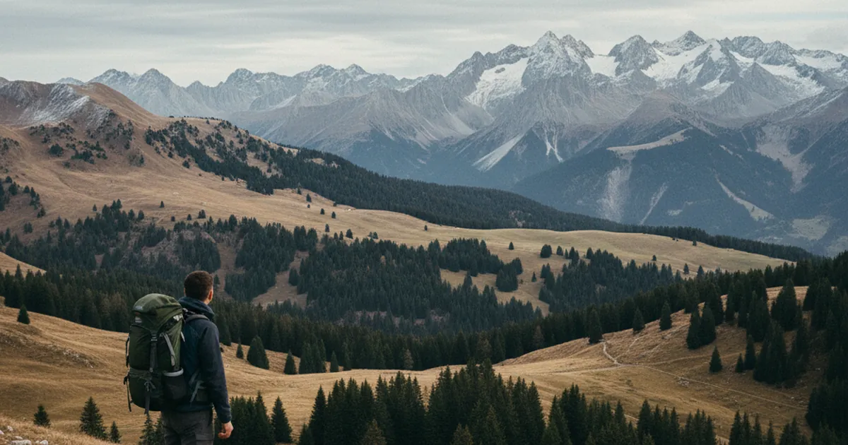
Hiking in November: how late?
The season is ending, but not everything is closed. Below 1200 metres, the Bauges and Lake Annecy stay walkable into mid-November, away from…
Read article →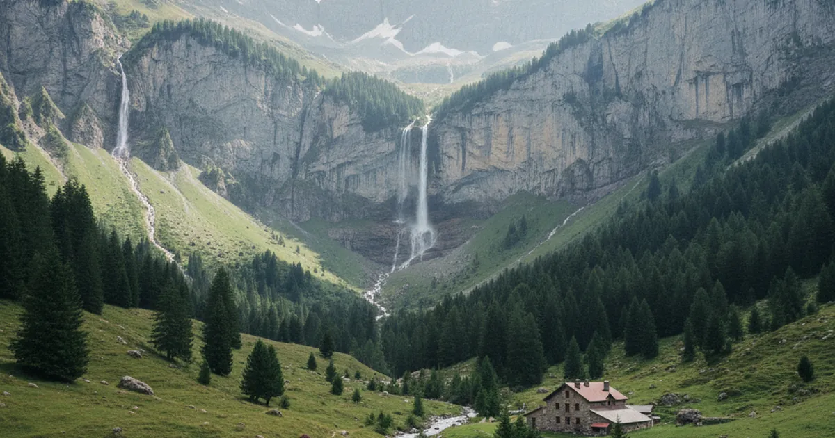
Sixt-Fer-à-Cheval: cirque, waterfalls, hikes
The best-preserved commune in the Giffre valley: a glacier-carved cirque, waterfalls, the Sixt-Passy national nature reserve and hiking for …
Read article →
Hiking solo: the precautions to take
Solo hiking in Haute-Savoie isn't forbidden but requires specific preparation: plan your route, gear up, tell someone. Our safety tips for h…
Read article →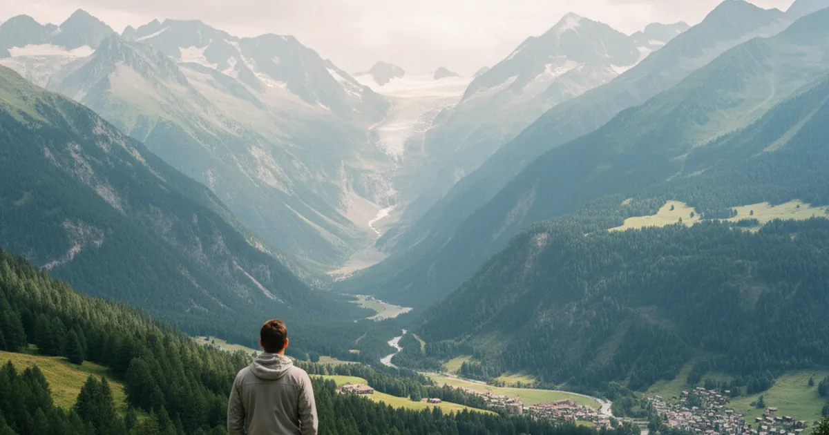
The history of tourism in Chamonix
From the 1741 discovery of the valley to the 1786 conquest of Mont Blanc and the first 1924 Winter Olympics: three centuries of tourism in C…
Read article →
Alpine flora: 10 emblematic flowers
Gentian, anemone, soldanella, edelweiss: the 10 flowers to recognise in Haute-Savoie pastures, where and when to observe them and how to pro…
Read article →
Autumn colours in Haute-Savoie
Larches, beeches and maples: Haute-Savoie's autumn palette. When the colours peak and where to find them, in the Bauges, the Aravis and the …
Read article →
Samoëns as a hiking base: star options
From Samoëns, a Most Beautiful Village of France in the Giffre valley, radiate on foot to the Gorges de Tines, the Morillon pastures and the…
Read article →
Handling a sprained ankle on a remote trail
What to do when you sprain an ankle far from the trailhead: assessment, immobilisation, turning back or calling for help.…
Read article →
The Évian salt route: a historic path
Évian salt was traded on Chablais mule paths still walkable today. The history of the salt route, from the gabelle tax to modern hiking trai…
Read article →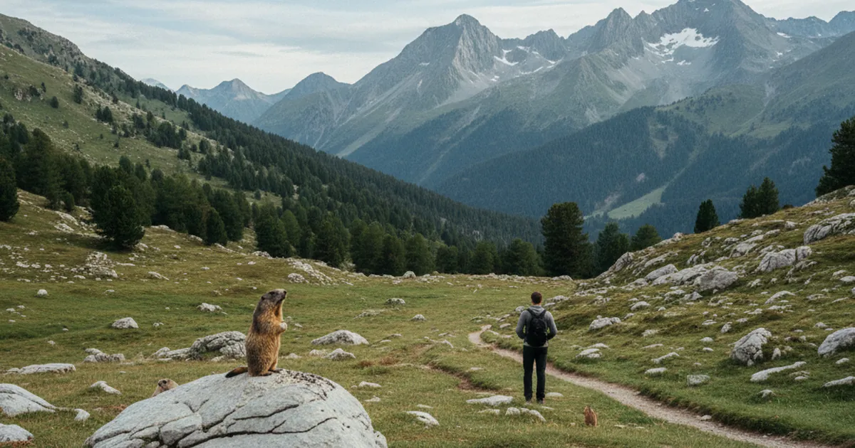
The marmot: understanding its whistles
A short burst signals a ground predator, a long call the eagle: decode the Alpine marmot's whistles and learn to watch it without disturbing…
Read article →
Hiking in September: the best light of the year
September offers the best golden light, ideal temperatures and quieter trails in Haute-Savoie. The favourite month of mountain photographers…
Read article →
Hiking between Annecy and the Bauges: lakeside
Tournette, Semnoz, Mont Veyrier, lakeside and the Bauges: our overview of hikes around Lake Annecy, from easy strolls to demanding summits.…
Read article →
What to pack in a hiking first-aid kit
A minimal and effective first-aid kit list for a hiking day in Haute-Savoie: the essentials, what people forget, and useful safety reflexes.…
Read article →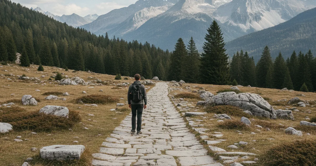
Roman roads in Haute-Savoie
Several Roman roads crossed Haute-Savoie. Milestones, place names and alpine passes: the traces still identifiable today while hiking in the…
Read article →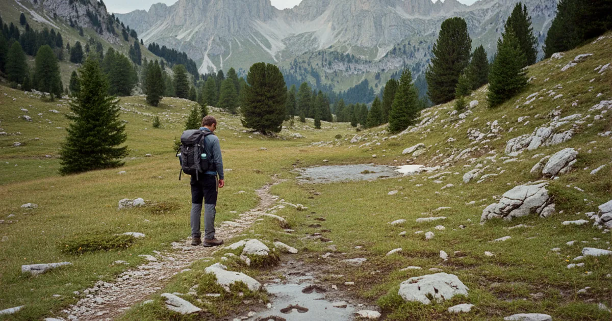
The chamois: reading its tracks
Smaller and more agile than the ibex, the chamois leaves distinctive signs: prints, droppings and worn trails. Learn to read them across Hau…
Read article →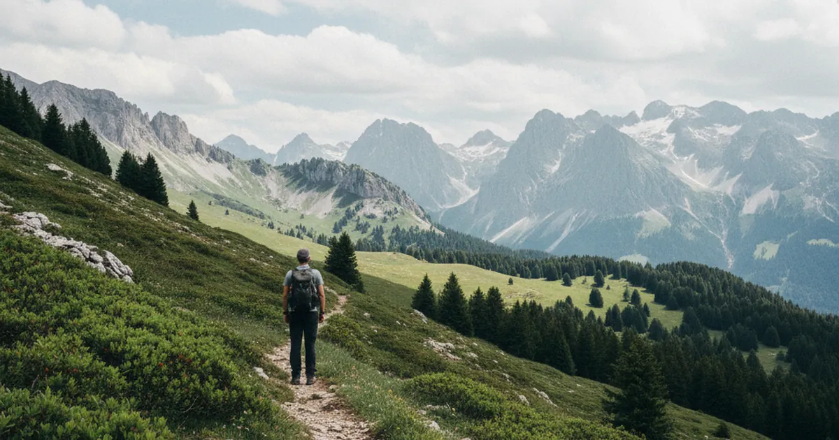
Avoiding crowds in July and August: quiet routes
In July and August, Haute-Savoie fills up. How to avoid the crowds: quiet routes in the inner Chablais and the Giffre valley, early starts a…
Read article →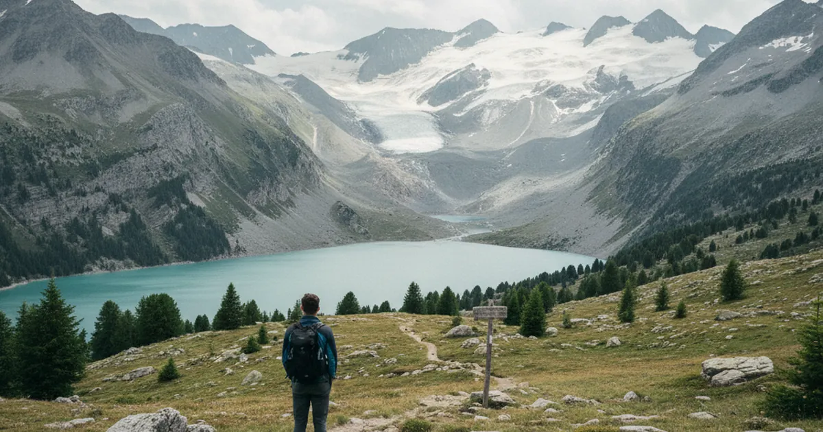
Hiking around Mont Blanc without climbing
Grand Balcon, Lac Blanc, Col de Voza: the Mont-Blanc Country routes to see the glaciers without axe or rope, from late June to early October…
Read article →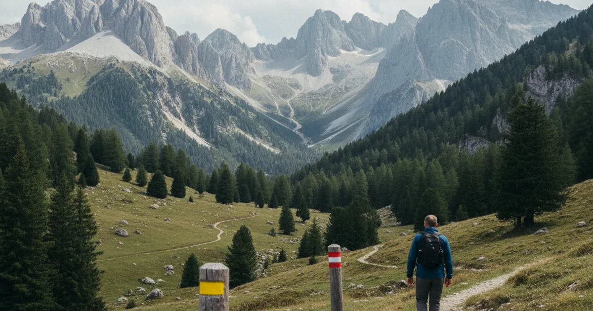
Understanding French FFRP trail marking
Decode French FFRP trail waymarks: yellow for local PR paths, red-and-white for GR routes, red-and-yellow for GRP loops. A hiker's guide for…
Read article →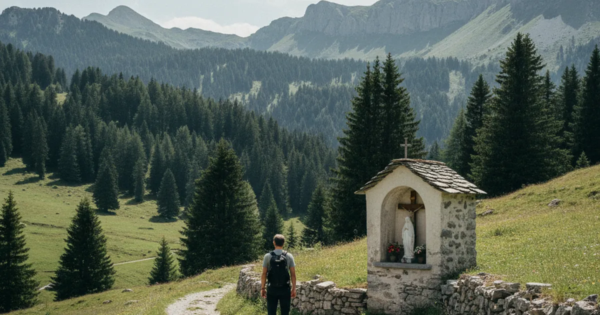
Roadside shrines on old trails
Roadside shrines, small stone niches, punctuate the old trails of Haute-Savoie. Quiet witnesses of a rural piety that hikers learn to spot a…
Read article →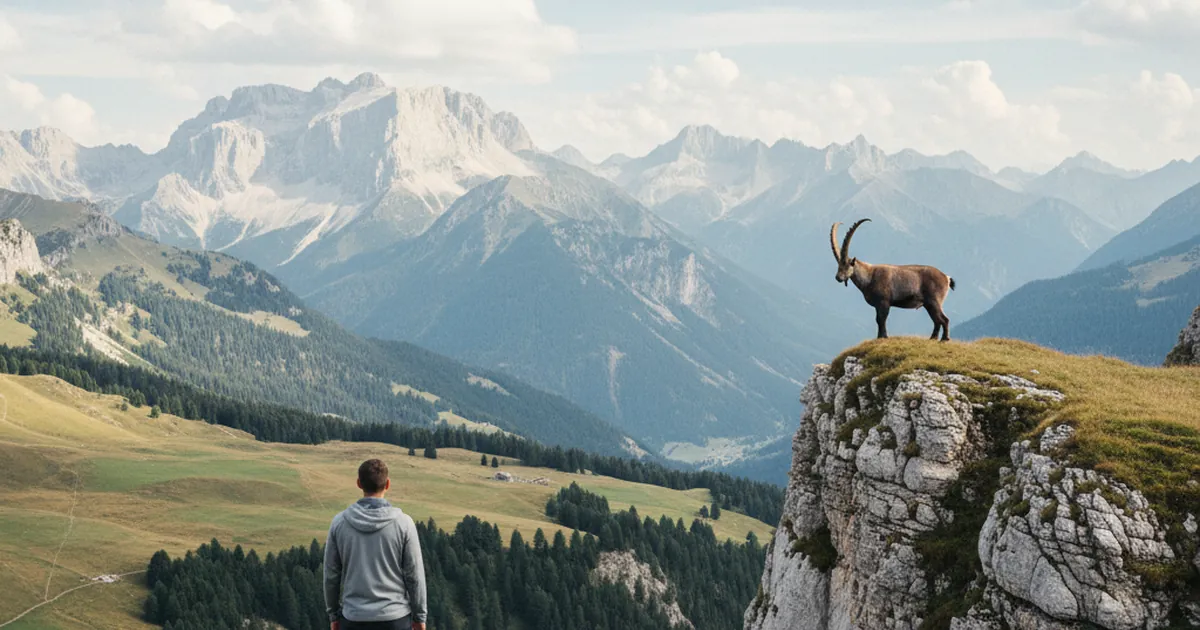
The Alpine ibex: where to see one
The Alpine ibex can be seen in the Chablais and the Vallée du Giffre. Where to look, the best seasons and hours, and how to watch one withou…
Read article →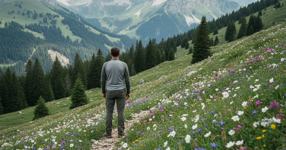
Hiking in June: the alpine flower window
In June, the alpine flora of Haute-Savoie reaches its peak. Alpenrose, gentians and martagon lily: our best areas to explore, from the Chabl…
Read article →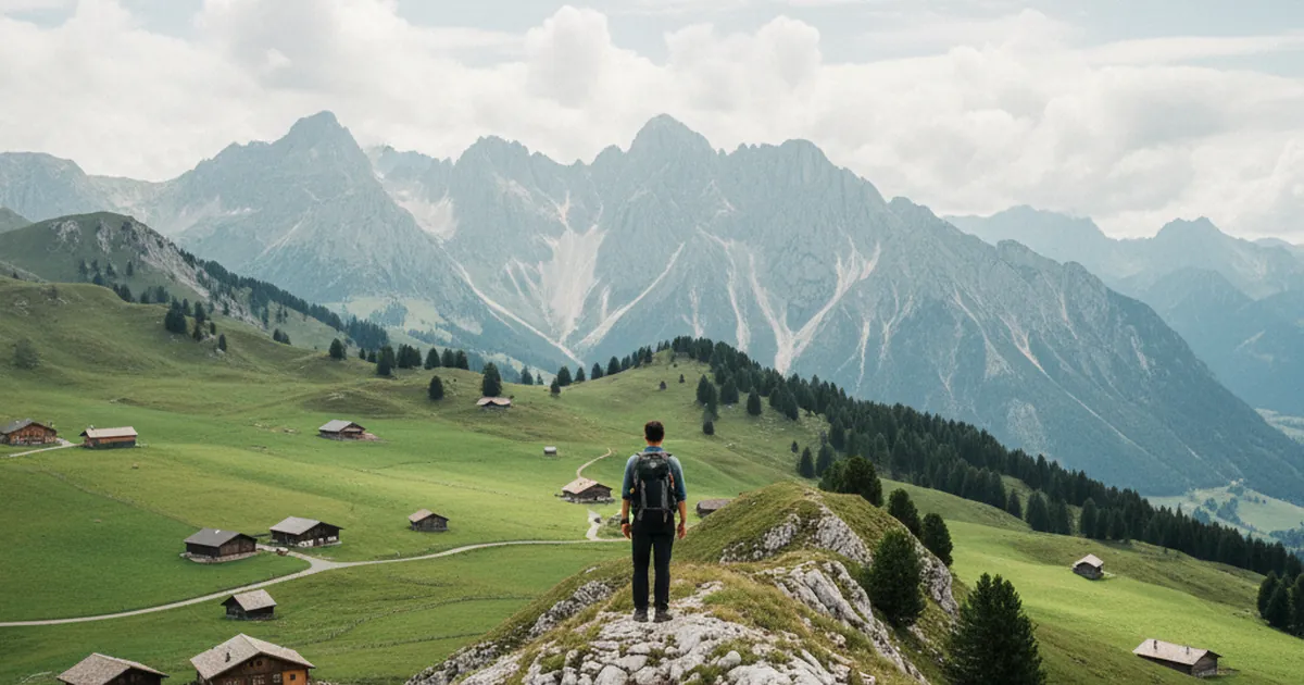
Hiking in the Aravis and Bornes: peaks and pastures
Limestone ridges and Reblochon pastures: the area that holds Haute-Savoie's postcard image.…
Read article →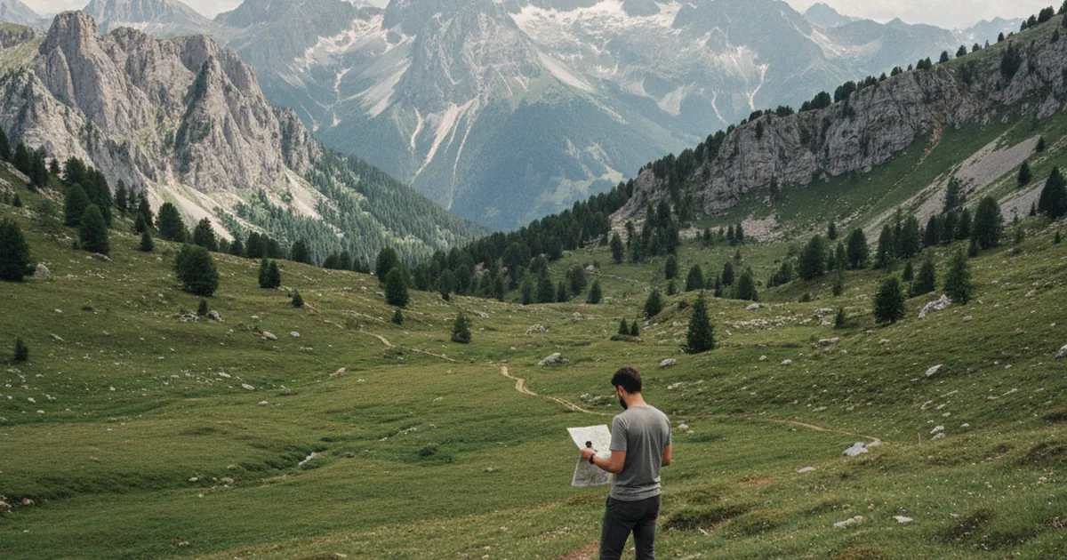
Using a compass when the GPS fails
A dead GPS happens more often than you'd think. Knowing how to take a bearing with a compass is a life-saving skill.…
Read article →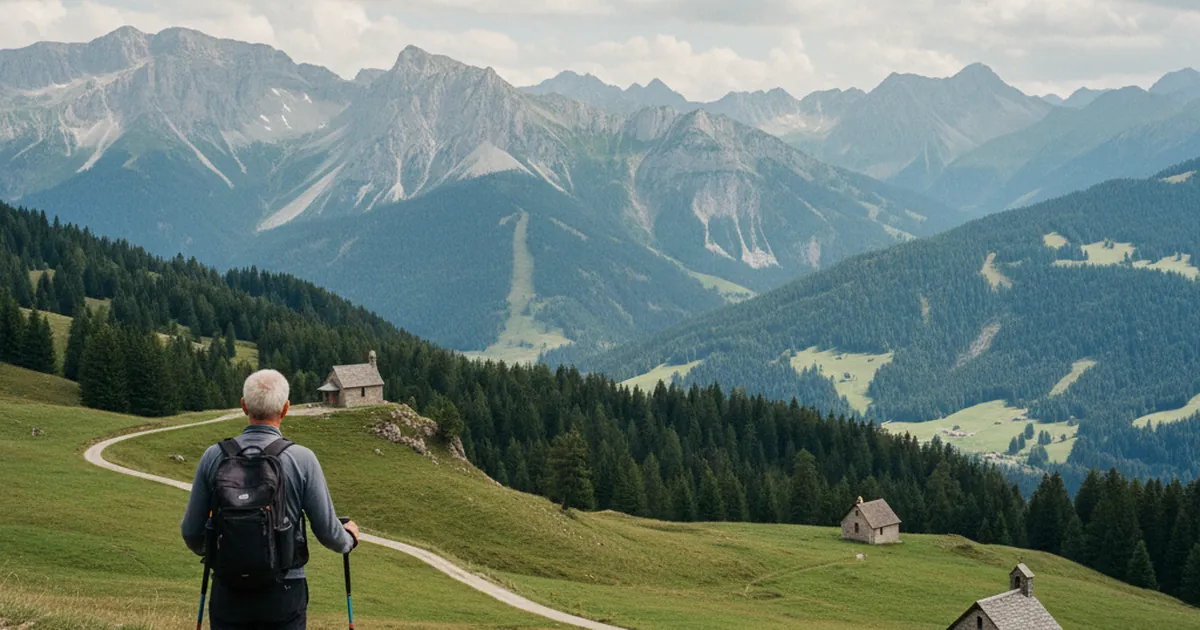
Mountain chapels: why, where
Perched above the alpine pastures of Haute-Savoie, mountain chapels tell the story of transhumance. Their origin, architecture, and examples…
Read article →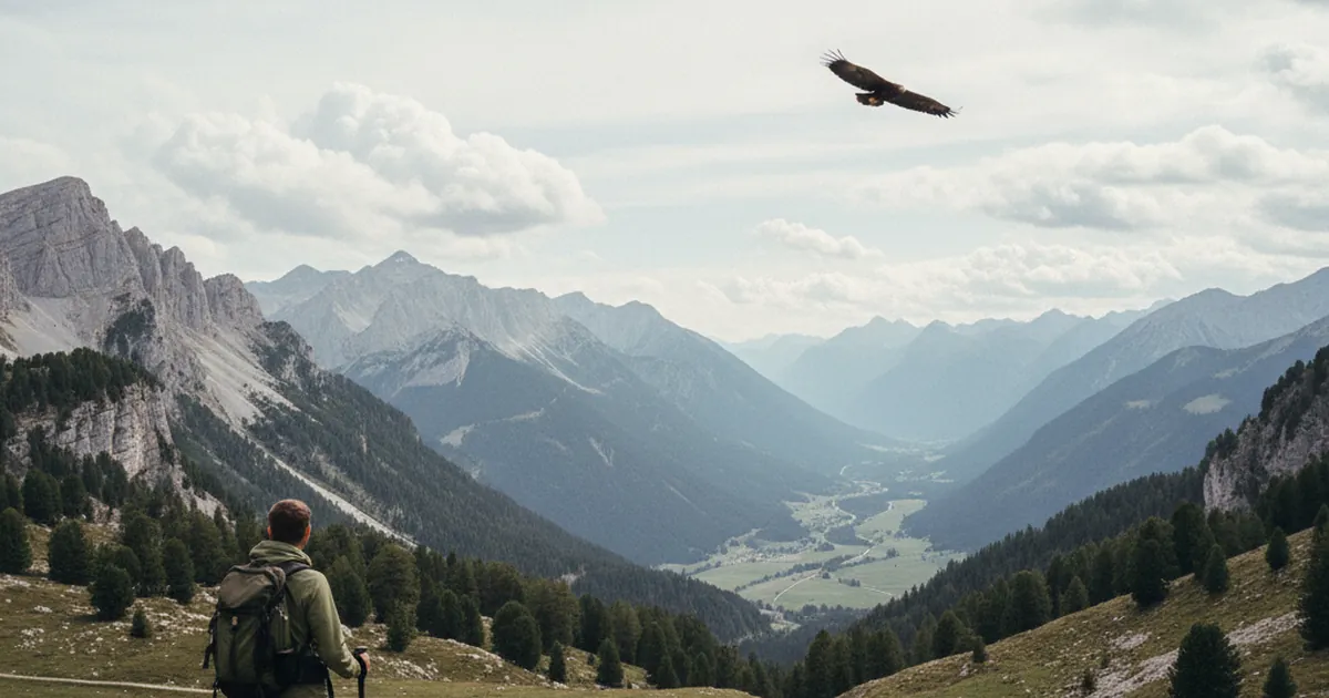
The golden eagle in Haute-Savoie: a few sites
The golden eagle nests across Haute-Savoie: Chablais, the Giffre valley, the Aravis. Where and when to maximise your chances of seeing one.…
Read article →
Valley-floor trails for off-season
In Haute-Savoie, valley-floor trails along rivers, through low forests and gorges stay accessible almost year-round, well away from the summ…
Read article →
Hiking in the Arve valley: above the towns
From Le Môle to Pointe d'Andey, the trails above the Arve valley offer views of Mont Blanc and quiet hiking, far from the crowds, from Cluse…
Read article →
Reading a 1:25,000 IGN map in the mountains: the basics
Contour lines, orientation, symbols and scale: everything you need to know to read a 1:25,000 IGN map and use it in the mountains of Haute-S…
Read article →
The Vogealle refuge: an icon of the Giffre
Perched at the foot of a spectacular cliff, the Vogealle refuge symbolises the Upper Giffre, reached from Samoëns via a long and demanding m…
Read article →
The bearded vulture: where to see it
Reintroduced in the Alps since the 1980s, the bearded vulture is back in Haute-Savoie. Where and when to spot it: the Aravis, Mont-Blanc and…
Read article →
Hiking in April: areas already walkable
In April, not all the mountains are open yet: Lake Annecy, the lower Chablais and the Arve valley are the areas that open first in spring.…
Read article →
Hiking in the Chablais: accessible summits
Dent d'Oche, Roc d'Enfer, Nantaux: the iconic Chablais summits, plus accessible walks around Morzine, Les Gets and Bellevaux, all in a singl…
Read article →
Picking hiking shoes for alpine terrain
Low, mid or high-cut: how to pick your hiking boots for the terrain of Haute-Savoie, with practical markers on sole grip, stiffness and sizi…
Read article →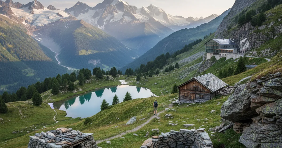
History of Haute-Savoie refuges
From shepherds' dry-stone shelters to solar-powered huts, the history of Haute-Savoie's refuges is the story of the mountains themselves.…
Read article →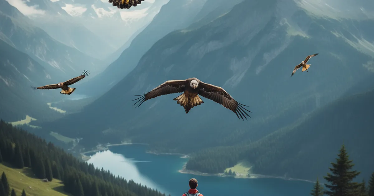
Identifying raptors in flight in Haute-Savoie
Golden eagle, bearded vulture, buzzard, kites and falcons: how to identify the main raptors you spot in flight while hiking in Haute-Savoie.…
Read article →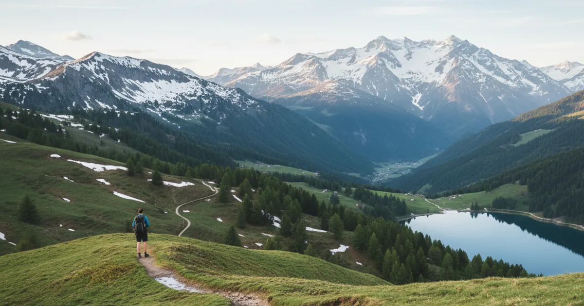
When to start the hiking season in Haute-Savoie
When Haute-Savoie trails become walkable again depending on altitude: first loops from April around Annecy, high mountains in July, and wher…
Read article →
Hiking in the Giffre valley: where to start
Taninges, Samoëns, Morillon, Sixt-Fer-à-Cheval: which area and which difficulty level to pick when you start hiking in the Giffre valley, Ha…
Read article →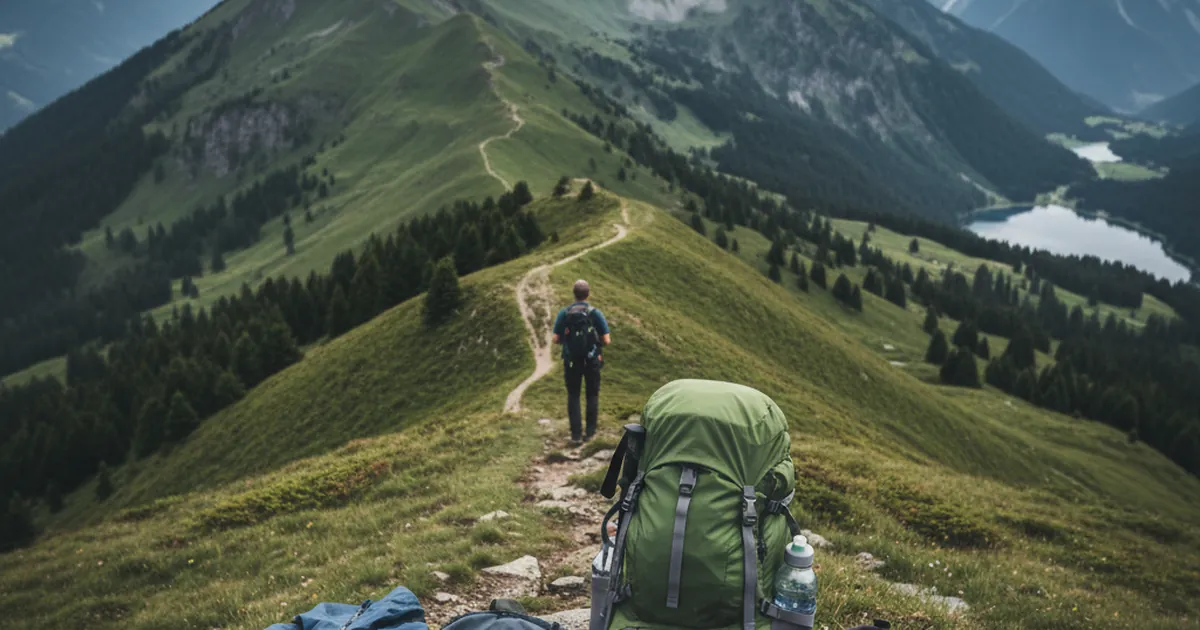
Packing your daypack for hiking in Haute-Savoie
Overpacked or underpacked: the 10 to 15 items to carry in a daypack for hiking in Haute-Savoie, so you never struggle at the pass or on a su…
Read article →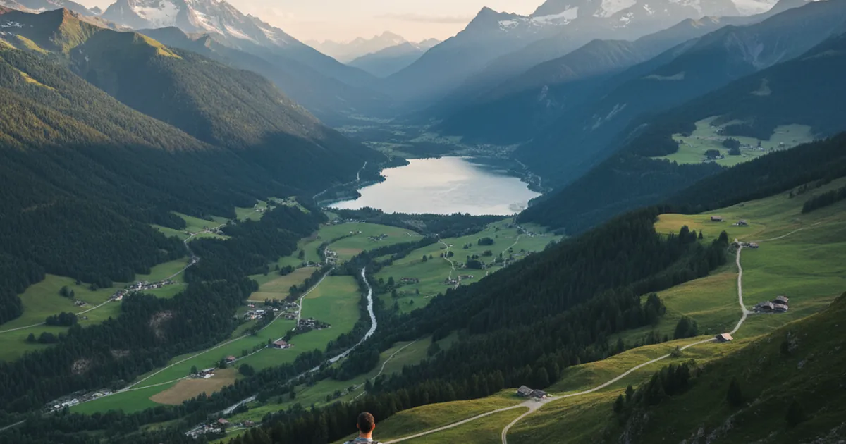
The 6 valleys of Haute-Savoie for hiking: where to start
Chablais, Giffre, Arve, Aravis-Bornes, Mont-Blanc country, Annecy-Bauges: an overview of Haute-Savoie's 6 hiking valleys to pick where to wa…
Read article →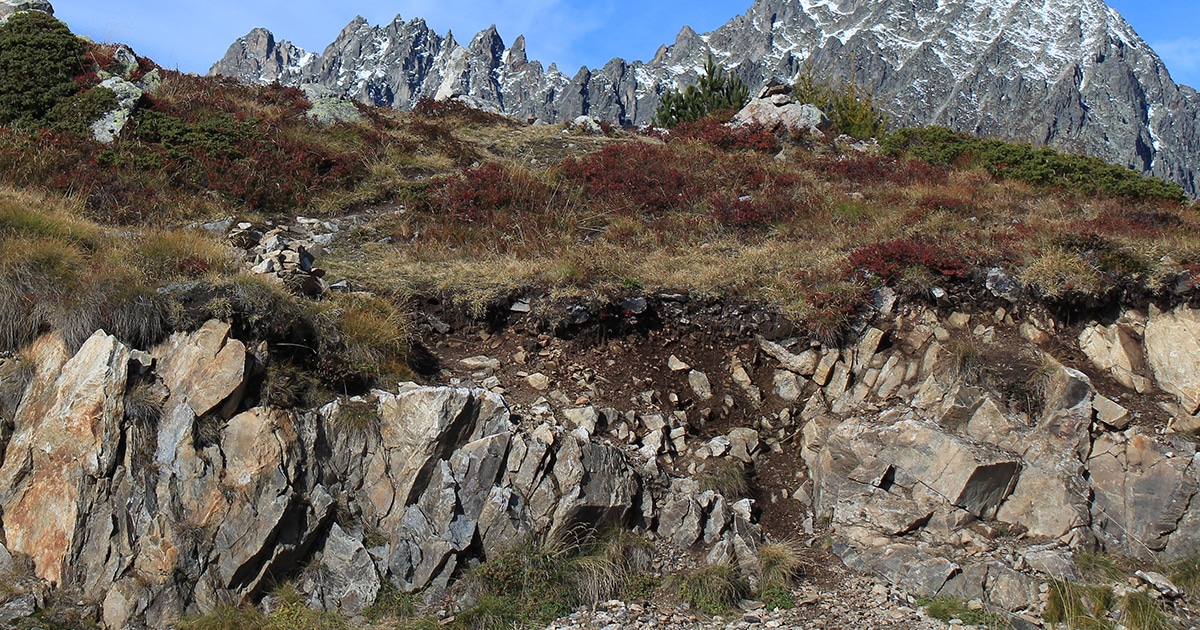
Spotting a cairn in the mountains: purpose, history and good practice
A small pile of stones set along a trail, the cairn has guided hikers for millennia. Here is its role, its history and how to use one proper…
Read article →