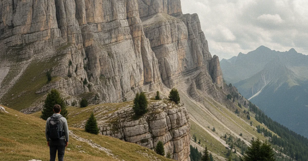
When you hike the trails of the Aravis massif, one thing is immediately striking: those vertical grey and white cliffs, sometimes plunging hundreds of metres in a single drop. Limestone is everywhere. Underfoot, in the loose stones, in the walls that line your path. To understand what you're looking at, you need to go back to a time when what is now Haute-Savoie lay at the bottom of a shallow tropical sea.
Urgonian limestone: born beneath a tropical sea
The limestone that makes up the bulk of the Aravis-Bornes massif is what geologists call Urgonian limestone. It's a sedimentary rock that formed around 120 to 130 million years ago, during the Early Cretaceous. At that time, the landscape you walk through today was covered by a warm, shallow sea at roughly the latitude of today's Mediterranean.
In this sea teeming with filter feeders, corals and especially rudists (large bivalve molluscs now extinct), massive accumulations of calcium carbonate were deposited. Layer after layer, year after year, over millions of years. The result: compact limestone beds, hard, resistant to erosion. That resistance is what explains the cliffs. The rock held where other materials would have crumbled.
Plate collision and the birth of the Alps
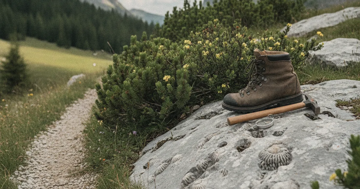
All that accumulated seafloor limestone would never have become cliffs if tectonic plates hadn't moved. Around 30 to 35 million years ago, the African plate began pushing northward, compressing the Eurasian plate. Sedimentary rock layers that were originally horizontal were folded, stacked, and deformed. This is the Alpine orogeny.
Those blocks of Urgonian limestone, once lying flat under hundreds of metres of seawater, were pushed up to altitude. The Aravis are a clear example of this mechanism: nappes de charriage, or thrust sheets, slid huge rock masses over long distances, stacking layers on top of each other. Some of the cliff faces you see while hiking correspond to the gliding planes of these thrust sheets, now frozen in the rock.
What you can read on the ground
Geology isn't only found in textbooks. In the field, you can spot several features typical of the Aravis limestone:
- Lapiaz (limestone pavements). These rock surfaces carved into parallel grooves or deep furrows are the result of limestone dissolution by slightly acidic rainwater. Carbon dioxide from the air dissolves in water to form carbonic acid, which slowly eats into the rock.
- Dolines. These circular depressions in the alpine meadows mark where the ground has collapsed above underground cavities. Limestone is soluble: it carves out from below.
- Caves and springs. Water seeping into limestone cracks travels through underground networks and resurfaces, often at the base of cliffs. The La Grotte de la Cheminée hike near Menthon-Saint-Bernard is a great example of this kind of karst feature up close.
- The white colour. Urgonian limestone is particularly pure in calcium carbonate, giving it that pale, almost white appearance in full sunlight: the signature look of the Aravis ridgeline.
Aravis and Bauges: two geological cousins
If you also hike in the Bauges, you'll find the same limestone atmosphere. The two massifs share a common geological history: the same Cretaceous marine origin, the same Alpine uplift, the same Urgonian limestone as their foundation. The visible differences come mainly from the shapes that glaciers cut into the valleys: broad U-shaped troughs where the glaciers carved deepest, narrow gorges where rivers kept working after the ice retreated.
Thônes, the main town of the Aravis massif, makes a natural base for exploring this geology. The town sits in a hollow carved by ancient glaciers, surrounded by limestone slopes that drop directly into the valley.
Karstification: limestone that carves itself
Karstification deserves a closer look. Unlike crystalline rocks like granite, limestone dissolves in acidified water. Over millennia, rain and snowmelt seep into every crack, widening them, creating galleries and chambers. This is what's called a karstic aquifer: an underground water reservoir within the limestone itself.
The practical consequence for hikers: springs are rare on the surface of limestone plateaus. Water infiltrates quickly rather than running off. If you're planning a walk across the high Aravis plateaus, don't count on finding water midway. Carry everything you need from the start. For an accessible hike that illustrates this low-altitude karst landscape well, the Tours Saint-Jacques near Allèves in the neighbouring Bauges gives a good sense of how limestone shapes the ground.
Conclusion
The limestone cliffs of the Aravis are more than scenery. They tell 130 million years of history: a tropical sea, vanished organisms, a continental collision, glaciers. When you look up at those white walls while hiking, you're looking at a seabed that tectonic forces raised to over 2,000 metres. That's what makes every outing on the trails of Haute-Savoie just a little more vertiginous.