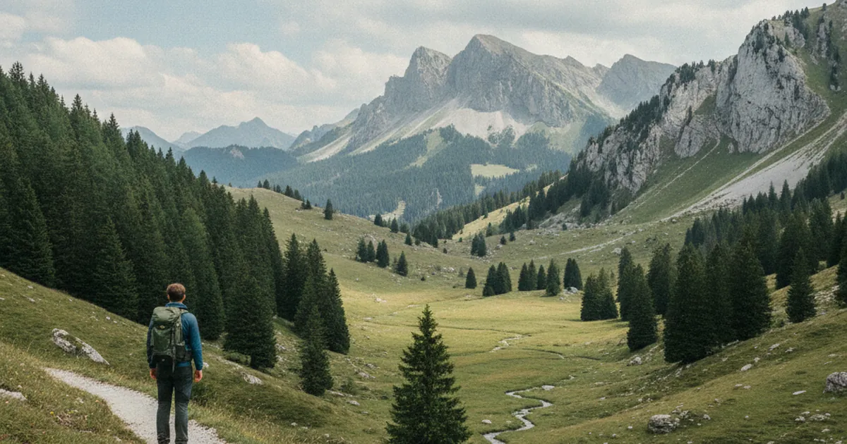
Open an IGN map of Haute-Savoie and take a moment to read the names. Nantaux. Loëx. Agy. Joux Plane. Crêt des Mouches. Onnion. These words bear no resemblance to standard French, and with good reason: they do not come from French. They carry layers of much older languages, from Gaulish to medieval Latin and through the Franco-Provençal patois of Alpine shepherds. When you go hiking in Haute-Savoie, knowing these roots does not change your route, but it changes what you see as you walk.
Gaulish roots beneath the Latin surface
Before Rome, the northern Alps were inhabited by Celtic peoples. Their language, Gaulish, survived several centuries under Roman occupation and left traces in local place names that neither Latin, nor the regional patois, nor French has erased.
Onnion, a small village in the Chablais, illustrates this well. The name likely derives from a Gaulish root referring to a confluence or a wooded wetland. Bellevaux, in the same region, appears more transparent ("beautiful valley"), but its older forms betray linguistic layers more complex than popular etymology suggests.
Cluse, found in the city name Cluses (Arve valley), comes from Latin "clusa", but that Latin word itself translated a topographic concept the Celts already named: a natural valley narrowing that served as a lock. Geography imposed vocabulary, whatever language was spoken at the time.
Franco-Provençal patois: the language of maps and trails
The Franco-Provençal language family, distinct from both French and Occitan, dominated the northern Alps until the twentieth century. Its toponymic influence is everywhere, and several recurring terms are worth recognizing on sight.
"Nant" (sometimes written "nan" at word endings) means a stream or mountain torrent. You find it in Nantaux, in the Nan of the Pointe de Talomarche et Nan, in the Nant Brûlant and Nant du Fer. Wherever the landscape is shaped by flowing water, the "nant" has left its mark.
"Joux" refers to a conifer forest, typically firs or spruces. Joux Plane, the pass between Morzine and Samoëns, has carried this name for centuries: the wooded plateau you crossed before dropping down the other side of the ridge.
"Chaux" or "chaut" means a high-altitude pasture, an alpage. Chaux Fleurie, Les Chaumes, Le Chaut: these names all point to pastoral land, often at the upper edge of the tree line.
"Crêt" refers to a rocky summit or narrow ridge. Le Crêt des Mouches, Le Crêt d'y Beurre: wherever rock breaks through at the top of a hill or along a ridgeline, the word was there to name it.
Suffixes that tell the history
Endings are as revealing as roots. In Haute-Savoie, the suffix "-ens" (and its variants "-ans", "-an", "-in") indicates a place that belonged to someone, often a Roman or medieval owner whose name was latinized then shortened over time.
Samoëns reportedly derives from "Saint-Moens", a sixth-century bishop. Bogèves, Margens, Nangy follow the same pattern: a personal name combined with a possessive suffix. These names are property deeds fifteen centuries old, fixed in the geography.
"Loëx", which you encounter leaving Taninges on the Montée à Loëx trail, most likely comes from Latin "locus" (place, location). The word shifted phonetically from "locus" to "loex" through centuries of patois, simply meaning "the spot", that gathering or transit point the locals needed to name.
On the trail: reading names as a tool
This knowledge has concrete applications while hiking. Names linked to water give you information about drainage. A place named "Nant" often means a stream crossing, sometimes difficult after thunderstorms. A "Plan" or "Praz" suggests flat terrain, often marshy at altitude.
Names linked to forest give a sense of the vegetation ahead. "Joux" means dense conifers. "Verne" or "Vern" (from the patois word for alder) indicates a wet zone or valley bottom.
In the Aravis and Bornes massifs, maps are especially rich in patois-derived names. Alp chalet names, spring names, and pass names layer all these origins. The Tour d'Agy, around the commune of Saint-Sigismond, carries a name whose root "agy" is close to Latin "aqua" (water): here too, the terrain speaks before you set foot on it.
Even when exact etymologies are disputed, the effort of deciphering changes your perspective. You are no longer facing arbitrary labels, but words that once carried practical meaning for generations of mountain people.
A reading that sharpens over time
You will not learn all these roots at once. But with each outing in Haute-Savoie, a few more names become readable. A "Crêt" on the map tells you the summit will be rocky. A "Nant" prepares you for a stream crossing. A village ending in "-ens" lets you picture the Roman landowner whose name has survived fifteen centuries.
IGN maps of this region are palimpsests: parchments where each era wrote over the previous one without erasing everything. Patois, Latin, Gaulish, and contemporary French coexist on the same base map. Learning to tell them apart is a way of entering the mountain differently from counting kilometers and elevation gain. It means understanding that the territory was named before it was waymarked, and that those names still say something to anyone who takes the time to listen.