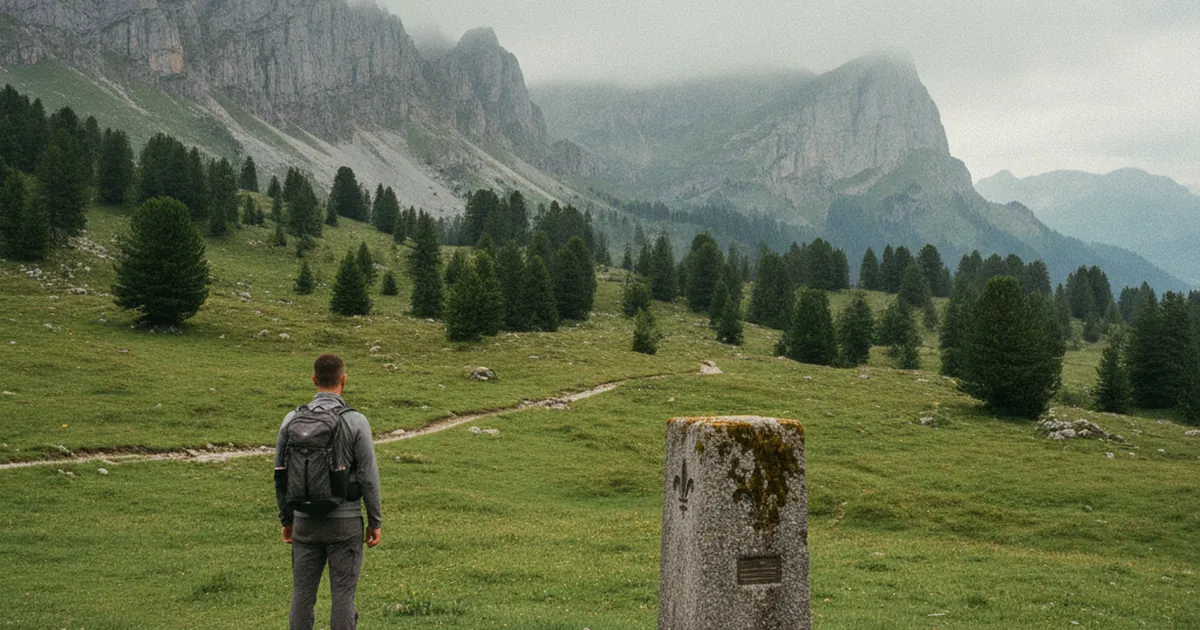
If you spend enough time hiking in Haute-Savoie, you will eventually come across an old block of stone standing in the ground: slightly tilted, carved with numbers or letters, half-hidden by grass or moss. These stones are not random. They are border markers that once traced the frontier between France and the Kingdom of Sardinia, before Savoy was annexed to France in 1860. More than a century and a half later, they are still there.
Savoy: a foreign country until 1860
This surprises many people: for centuries, Savoy was not French. It belonged first to the Duchy of Savoy, then to the Kingdom of Piedmont-Sardinia. The border separating France from this territory ran straight through the mountains, sometimes along ridgelines, sometimes across alpine meadows. On one side, French soil. On the other, Sardinian territory.
That changed in 1860. A treaty between Napoleon III and King Victor-Emmanuel II transferred Savoy to France. A plebiscite in April of the same year ratified the decision, and overnight, the local population became French citizens. The stone markers that had defined the frontier were suddenly obsolete, silent witnesses to a boundary that no longer existed.
What the markers look like
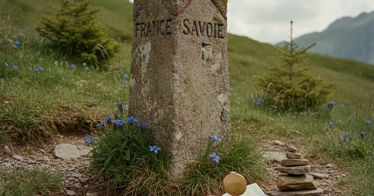
Border markers are carved stone blocks, typically granite or local limestone, set vertically into the ground. Their height varies: some barely break the surface, others rise to knee level. Most carry engraved markings, an order number, initials identifying the kingdoms on either side (often "FS" for France-Sardaigne, or similar variants), sometimes a date of installation.
They were placed at regular intervals along the frontier line so that each one remained visible from the two adjacent markers. This gave border guards and customs officers a chain to follow during patrols without losing their bearings. Some markers have been displaced or damaged over time. Others remain perfectly in place, wherever the ground has stayed undisturbed.
Condition varies a great deal. On heavily used alpine pastures, livestock and repeated passage have tilted or partially buried some markers. In forest, roots and vegetation have swallowed others. But on exposed rocky terrain, many have stood for a hundred and sixty years with no maintenance whatsoever.
The Bornes massif and its stone memory
The Aravis and Bornes massif draws part of its identity from these frontier markers that once lined the border in this area. The zone was an active border region, patrolled by customs officers on both sides. Ridgelines often served as natural boundaries, and markers filled in wherever the topography alone was not enough to define the two territories clearly.
This is the area where the Les 3 Bornes hike starts, from the village of Cusy. The name is not a coincidence: it refers directly to those stone markers that once punctuated the frontier. The route is rated hard, with significant elevation gain, and takes you through a landscape where geography and history overlap in ways that reward the curious hiker.
Smuggling: the other side of the border
Where there is a border, there are smugglers. Savoy was no exception. Between France and Piedmont-Sardinia, mountain passes served regularly as routes for clandestine trade: salt, tobacco, silk. Smugglers knew every fold in the terrain better than the border guards. They used trails that skirted checkpoints, took minor passes, and moved through gaps that never appeared on official maps.
That history survives in place names. The Mont Baret and Col des Contrebandiers hike, starting from Menthon-Saint-Bernard, speaks directly to this era: the col's name recalls the time when this crossing was used by those slipping across the frontier without papers or permits. It is no accident that so many secondary passes carry evocative names. Each one records a practice, a habit, a piece of daily life on this mountain border.
Going to look for the markers
If you want to go searching for these stones, bring a detailed IGN map (1:25 000 scale). Markers are sometimes noted on the most thorough editions. They do not necessarily sit on marked trails: some stand in the middle of open pasture, others at the edge of a forest. Patience and good terrain-reading make the difference.
Local heritage associations occasionally organise themed hikes along these historical routes. It is a good way to combine walking with local history, guided by people who know exactly where each marker sits in their area.
- Bring a 1:25 000 IGN map covering your target area.
- Note any marker numbers mentioned in local guides or hiking topos.
- Respect the stones: some are listed as protected historical heritage.
- Photograph inscriptions from different angles: the letters can be hard to read in poor light.
These stone markers are physical evidence of a time when Savoy was a foreign country at France's doorstep, and when this mountain frontier was a daily reality for farmers, customs officers, and smugglers alike. Finding them on the ground is a way of understanding that geography is never neutral: it is shaped by centuries of politics, trade, and local identity. The next time you spot an old block of stone standing in an alpine meadow, take a closer look. There may be letters carved into it.