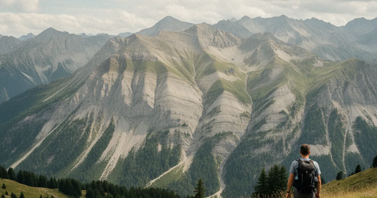
When you look up at the cliffs of the Giffre massif, the first thing that strikes you is the seemingly chaotic arrangement of rock layers. Bands of limestone twist, fold back on themselves, and overlap over dozens of metres. This is no accident: it is the story of millions of years of tectonic compression, written directly into the rock. Unlike the Aravis with its famously vertical limestone walls, the Giffre stands out for its folds: plastic deformations that reveal the colossal forces at work when the Alps were formed. These structures are readable with the naked eye from ordinary walking trails in the Giffre valley, if you know what to look for.
What is a geological fold?
A geological fold is a plastic deformation of rock layers that were originally horizontal. Under the pressure of lateral compression, rocks bend rather than break, provided the pressure builds slowly and at depth, where heat and stress allow minerals to deform without fracturing.
Two main forms stand out:
- An anticline is an arch-shaped fold where layers rise away from the central axis on both sides. The oldest rock sits at the core of the structure.
- A syncline is the opposite, a trough-shaped fold where layers dip toward the axis, with the youngest rock at the centre.
In the Giffre massif, both types coexist. Some folds are upright, others are tilted or even completely overturned, with older layers sitting above younger ones, a sign of particularly intense compression.
The Giffre: a massif shaped by tectonics
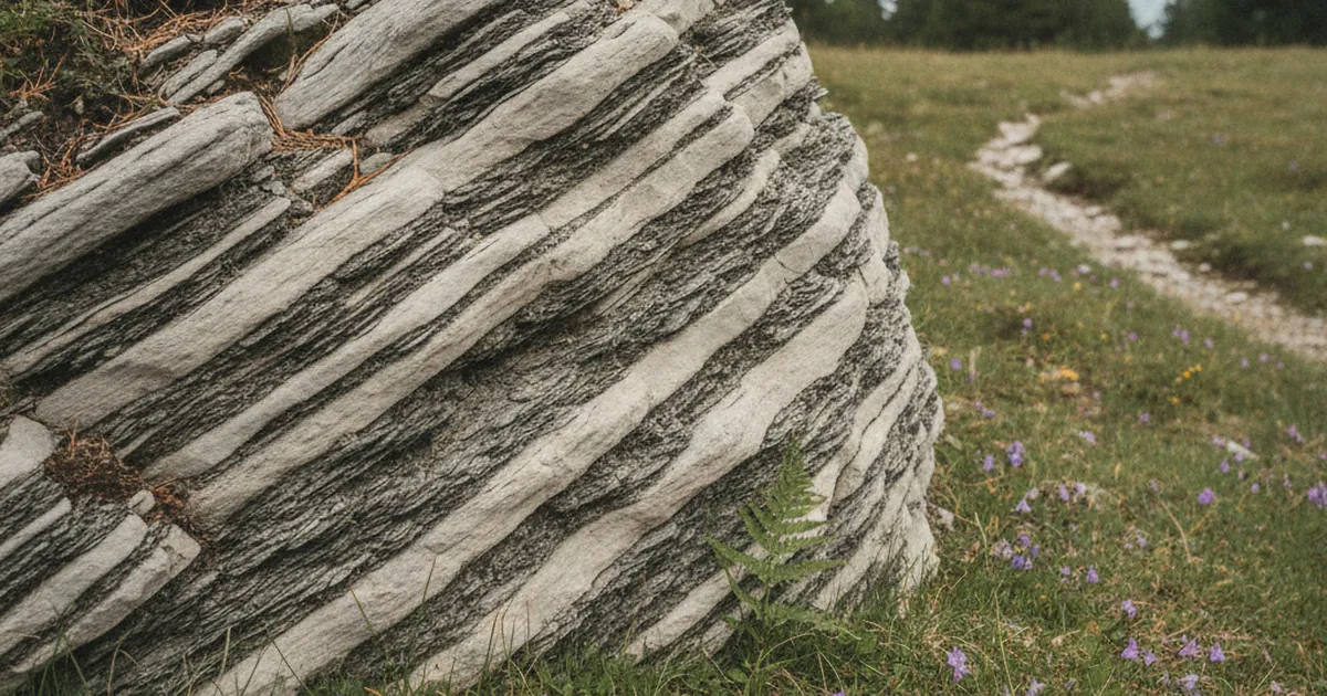
The Giffre massif is part of the calcareous Prealps of the Chablais. Its formation is tied to the collision between the African and Eurasian tectonic plates, a process that began around sixty-five million years ago and is still active at geological timescales. The exposed rocks are mainly limestones and dolomites of marine origin, laid down during the Jurassic and Cretaceous, with interbedded layers of marl and flysch.
What makes the Giffre so readable from the surface is the intense erosion it has undergone. Rivers, frost, and ancient glaciers have carved deep into the landscape, stripping back the outer layers and exposing the massif's internal structure. Gorges, cirques, and ridges act as natural cross-sections through the stack of layers: you can literally see what is happening inside the massif.
The Giffre river itself often follows geological lines of weakness, exploiting contact zones between different folded units. This explains why some stretches of the valley are narrow and steep-sided while others open into broad basins.
Sites where folds are visible from the trail
The Gorges des Tines, between Samoëns and Sixt-Fer-à-Cheval, are one of the most accessible places to observe folds up close. The walls flanking the path reveal strongly deformed limestone layers: some are nearly vertical, others describe clear curves over several metres. The Gorges des Tines trail runs right alongside these faces at eye level, with no specialist equipment needed. It is one of the rare walks where the geology reads directly off the wall, with little interpretive effort required.
The Cirque du Fer-à-Cheval, reached from Sixt-Fer-à-Cheval, offers an open-air geology lesson on a grand scale. The high cliffs enclosing the cirque show strongly tilted and locally overturned limestone strata. The sheer size of the site helps make sense of the phenomenon. Folds are visible over very large wall heights, making it easier to appreciate their continuity and regularity across hundreds of metres.
From Verchaix, several paths climbing toward the ridges offer sweeping views across to the opposite slopes, where rock strata stand out clearly. It is a different angle from the gorges, less dramatic but well suited to reading the geometry of the layers over long horizontal distances.
Recognising a fold from the trail
Spotting a fold from a hiking path takes some practice, but a few pointers help you get started:
- Look for parallel layers curving in the same direction. A regular curve over several metres is often an anticline or a syncline.
- When layers change dip angle abruptly for no obvious reason, a fault may be involved: folds and faults often form together.
- Marls interbedded between limestone (greyer or beige layers, less shiny) make it easier to trace the outline of folds across a cliff face.
- If dark, typically older layers appear at the top of a fold, you may be looking at an overturned structure.
Field guides to Alpine geology are available in local bookshops, including in Samoëns. Local naturalist associations in the Haut-Giffre area also run guided walks in season. One important note: in the protected natural areas of the massif, do not remove rock samples. Observation is done with your eyes.
Taking the exploration further on foot
For a closer look at the massif's geology, two routes stand out. The Gorges des Tines trail is the most direct option, with exposed cliff faces within arm's reach. For those who prefer a broader view from higher ground, the Praz de Commune circuit from Sixt gives a higher vantage point over the massif's major structures, with clear sightlines across the cirque slopes.
In either case, bring binoculars, as they let you study details on distant walls from a comfortable distance, especially for folds set high on the cliffs.
The Giffre massif is one of the richest areas in Haute-Savoie for anyone interested in field geology. Its folds are visible from the most ordinary trails: you just need to look up and know what to search for. To explore the trails of Haute-Savoie from other angles, covering nature, wildlife, or geology, Le Yaute Mag' publishes new articles regularly. Next time you pass through the Haut-Giffre, take five minutes to look at the walls differently: behind every curve in the rock, there is a story stretching back tens of millions of years.