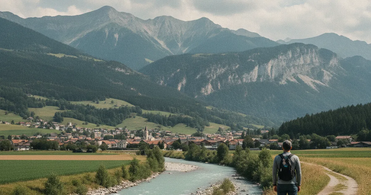
Bonneville is one of those towns most people drive through without stopping. The motorway funnels traffic towards Chamonix or Geneva, and the town disappears in the rear-view mirror. It deserves better. Set at the confluence of the Arve and Borne rivers, Bonneville sits at the meeting point of several valleys and offers a solid range of hiking trails, accessible right from the town centre.
For anyone looking to hike in Haute-Savoie without dealing with the crowds at the ski resorts, Bonneville is an overlooked base. That is precisely what makes it worth knowing about: an ordinary town set in anything but ordinary surroundings.
Where the valleys converge
The Arve arrives from the east, fed by the glaciers above Chamonix and snowmelt from Cluses. The Borne comes in from the south-east, draining the Aravis range. Both rivers converge here in the Faucigny plain, before the Arve continues its journey towards Lake Geneva. This confluence creates a natural gateway in several directions: upstream along the Arve valley towards the high mountains, northward towards the Chablais, or west towards the lateral valleys.
The town sits at the valley floor. The ridgelines above climb quickly: the crests above Bonneville already exceed 1,200 m, and the Môle peaks at 1,863 m just a few kilometres away as the crow flies. This setting gives access to a good range of hikes that remain feasible through the summer, when the higher summits are still snowbound early in the season.
The Boucle du Reray: a solid first outing
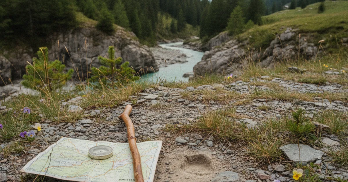
The Boucle du Reray is the local classic. Starting from Bonneville, it covers 9.07 km with 424 m of elevation gain over about 2h30. Rated moderate, it suits most hikers. The route climbs into the woodland above the town and opens up views over the Arve plain and towards the Môle massif.
A good option for a mid-week outing, or a warm-up before something more demanding. The elevation gain is manageable and the path is well-marked.
Col du Reray and the Grand Château: stepping it up
From the same area, the Col du Reray and Grand Château route pushes considerably further. 9.34 km, 886 m of elevation gain, 3h20 on foot. Rated hard. The trail passes through the Col du Reray (940 m) before climbing to the Grand Château summit (1,199 m).
From the top, the view takes in the whole Faucigny plain: Bonneville below, the Arve winding through the valley, the Aravis range as backdrop. A genuine effort for a proper reward. This outing calls for good fitness and proper mountain gear.
The Môle: Bonneville's landmark summit
Any conversation about Bonneville eventually turns to the Môle. This 1,863 m summit watches over the plain from the direction of Marignier and Saint-Jeoire, two villages located a few kilometres to the west.
The Môle earns its views. The routes to the top involve upwards of 1,400 m of elevation gain and are aimed at experienced hikers. From Ayse and the neighbouring communes, several variants allow you to choose a challenge that fits your fitness level. On a clear day, the summit panorama stretches as far as Lake Geneva. It is a mountain that defines this section of the valley.
When to go
The trails around Bonneville are open from June through October. In summer, start early to avoid the valley heat and the afternoon storms that tend to build up most days. September often offers the best conditions: comfortable temperatures, the first hints of autumn colour, and fewer walkers on the paths.
For anything heading to the ridgelines or the Grand Château, bring proper hiking boots, at least two litres of water per person, and a warm layer even in summer. Conditions change quickly at altitude.
Bonneville has a train station with connections to Annecy and Geneva. For walkers without a car, this is an uncommon advantage in a region where most trailheads are only reachable by road.
Bonneville is not the kind of hiking destination that makes it onto glossy brochures. No glacier, no mountain lake, no ski resort. Just a well-placed valley town, solid trails, and a mountain that has stood watch over the plain for centuries. Sometimes that is enough for a good day in the mountains.
To explore other sectors of the Arve valley or the surrounding ranges, find the full topo list on Haute-Savoie's hiking trails.