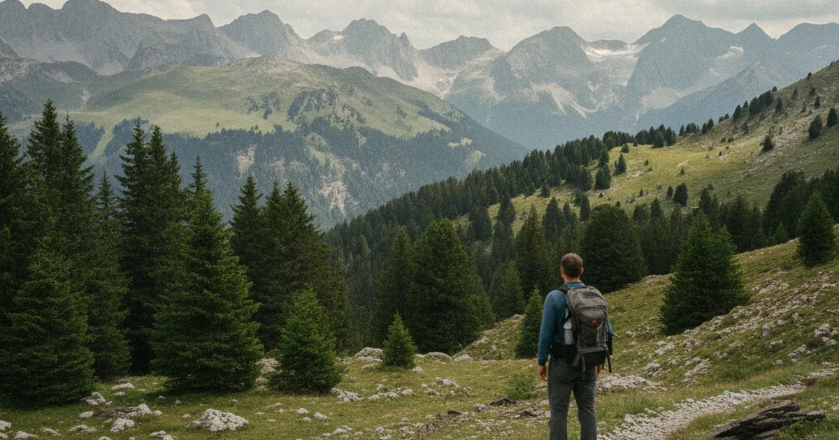
When you're planning a hike in the mountains of Haute-Savoie, the valley weather forecast tells you almost nothing about what you'll find at 2,000 metres. Between the valley floor and an exposed summit, conditions can diverge sharply: sustained winds up high, thick cloud cover, convective thunderstorms in early afternoon. Standard weather apps are designed for people in towns. For mountain hiking, you need specialised sources, and you need to know how to read them.
The Météo-France mountain bulletin
This is the first source to check. Météo-France publishes a daily mountain forecast bulletin broken down by massif. For Haute-Savoie, you'll find bulletins for the Chablais, the Faucigny and Mont-Blanc ranges, and the Aravis. The bulletin gives conditions by altitude band: below 1,500 m, between 1,500 and 2,500 m, and above. It also covers thunderstorm risk, expected ridge visibility, and wind strength at different altitudes.
Check it the evening before for the general outlook, and again in the morning for the update. It is refreshed twice a day by forecasters who know these massifs. Free, official, and genuinely useful: it is the foundation of any serious mountain outing.
Meteoblue: forecasts tied to a GPS point
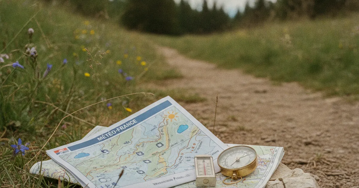
Meteoblue offers hourly forecasts for any GPS point, taking actual altitude into account. Enter the coordinates of a summit or a pass, and you get temperature, wind, precipitation, and snowfall expected at that precise altitude. This is a significant step up from standard forecasts, which extrapolate from lowland weather stations.
The "multimodel" interface overlays several numerical weather models. When they agree, you can place more confidence in the forecast. When they diverge sharply, treat that as a signal of genuine uncertainty and plan conservatively.
A practical example: before heading up the Boucle des Hauts-Forts above Morzine, check the Meteoblue forecast for the summit at over 2,400 m, not for the town in the valley. On a summer afternoon, those two pictures can look nothing alike.
Windy: visualising atmospheric flow
Windy is a weather visualisation tool widely used by paraglider pilots, alpinists, and mountain guides. It lets you see wind patterns at altitude, cloud evolution layer by layer, and the position of the 0 degrees C isotherm (the rain/snow boundary).
For a hike in the Bauges, this isotherm is a key indicator: if it drops below 2,000 m during your outing, expect snow or sleet on the upper slopes. In settled summer weather it usually sits above 3,000 m. During an Atlantic front, it can drop brutally to 1,500 m within a few hours.
Windy also shows wind layers at specific altitudes. A 60 km/h wind along a ridge changes a hike entirely, even with clear skies and no rain.
Understanding and anticipating thunderstorm risk
The summer convective thunderstorm is the classic trap in Haute-Savoie: clear and calm in the morning, thunder by 2 pm. The mechanism is nearly always the same. Sun heats the south-facing slopes from early morning, moist air rises along the walls, cumulus clouds develop vertically, and instability does the rest. In July and August, this pattern repeats several times a week.
Météo-France flags this risk in its mountain bulletins with an atmospheric instability rating. One simple rule to keep: if the bulletin mentions a thunderstorm risk from midday, plan to be back below the treeline by 1 pm. On a route like the Crêt de Châtillon in the Bauges, the exposed summit plateau offers no natural shelter.
- Watch for cumulus clouds building vertically from the morning, especially on south-facing slopes.
- If clouds develop a flat anvil shape at the top, that is a cumulonimbus forming.
- Thunder on the horizon is an immediate signal to descend, even if the sky directly above you is still blue.
Cross-checking sources before you go
No weather forecast is 100% reliable in the mountains. The massifs generate their own local weather systems, terrain effects complicate numerical models, and the gap between forecast and reality can be significant on a summer day. Good practice means crossing several sources, not relying on just one.
A straightforward method:
- The evening before: Météo-France mountain bulletin for the massif's general trend.
- Morning of: Meteoblue for hourly conditions at the GPS point of your target summit.
- A quick look at Windy to check wind flow and isotherm height.
If all three point to a stable day with no convection, that is a good sign. If one of them flags an afternoon deterioration, take it seriously, even if the other two look fine. In the mountains, the nasty surprises always come from the scenario you chose to ignore.
Taking ten minutes in the morning to check these tools is a simple habit that makes a real difference on the ground. Mountain weather is not like town weather. It moves fast, it varies with altitude and aspect, and it does not forgive guesswork. The tools exist, most of them are free, and they work: use them.