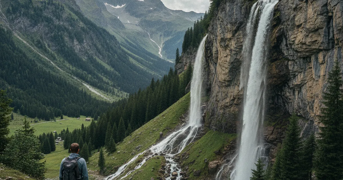
Haute-Savoie is one of France's most waterfall-rich regions. From a stream bursting out of a limestone cliff to a single thread of water plunging from a glacial step, waterfalls mark almost every valley in the Alps. But why this concentration? The answer comes down to two geological factors: the porous limestone bedrock and the deep legacy of Ice Age glaciers. Combined with the region's high rainfall and snowfall, these two forces have created one of the densest waterfall networks in the European Alps. Hiking in Haute-Savoie means rarely going more than a kilometre without hearing water somewhere.
Limestone: the underground plumbing system
Much of Haute-Savoie's highlands are built from limestone, a sedimentary rock that is porous and riddled with fractures. Unlike granite, limestone lets water seep in. Rainwater and snowmelt trickle down through cracks, follow geological layers, and travel through invisible underground networks for hours, months, or even years.
That water doesn't resurface just anywhere. It emerges where it hits an impermeable layer, usually a band of clay or flysch sandwiched between two limestone beds. This often happens mid-cliff, producing powerful springs that feed waterfalls directly, without any surface stream above. This is why some waterfalls in Haute-Savoie run year-round, even in August when nearby streams have dried up: they draw on underground reservoirs recharged by snowmelt and autumn rain.
This karstic process is especially visible in the Chablais and Aravis and Bornes massifs, where alternating limestone and flysch layers create ideal conditions for dramatic cliff-face resurgences.
The glacial legacy: hanging valleys
The second driving force is glacial. During the Ice Age, enormous glaciers occupied Haute-Savoie's main valleys. These ice masses, with their immense erosive power, carved valley floors far deeper than the smaller tributary glaciers coming down from side valleys.
When the ice melted, those side valleys were left stranded hundreds of metres above the main valley floor. They're called hanging valleys. A stream descending from a hanging valley has no choice but to leap off the edge in one vertical drop. This is how the region's most dramatic waterfalls are born: a single plunging column of water from a sudden break in slope.
The Mont Blanc area offers striking examples, with rock walls where water seems to appear from nowhere and fall for dozens or even hundreds of metres to the valley below.
Glacial steps and moraines
Two other glacial features also generate waterfalls. Glacial steps, called verrous in French, are resistant rock bars that the glaciers couldn't fully grind down. They create abrupt drops in the valley profile that streams must leap over. You encounter them most often on high-altitude approaches to summer pastures.
Glacial moraines, the debris piles left behind by retreating ice, can also dam secondary stream channels, creating small lakes or marshy areas upstream. When water overflows these natural barriers, it often forms small but attractive waterfalls that go unnoticed because they sit off the main marked trails.
The main types you'll encounter
Waterfalls in Haute-Savoie come in distinct forms, each shaped by the rock type and flow rate.
- Veil or sheet falls: water spreads across a smooth, sloping wall. Common on regular limestone, they create a curtain effect that photographs well, especially in morning light.
- Plunge falls: water drops vertically from a rock ledge. Often loud, they create permanent mist at the base and carve plunge pools in the rock over time.
- Tiered falls: water descends in steps, carving natural pools between each tier. This happens where rock layers vary in hardness.
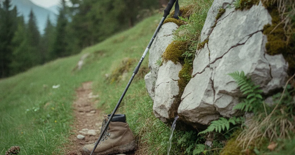
- Resurgence springs: water bursts directly from a crack in the cliff face with no visible stream above. A clear sign of active underground karst drainage fed by water that has travelled far beneath the mountain.
Where to see them on foot
Gorges are the best places to start. They concentrate erosion and immerse you in a landscape shaped by water over millennia. The Gorges des Tines trail near Samoëns follows a deep canyon carved by the Giffre river, with sheer walls and potholes visible at eye level. You can read the power of fluvial erosion on limestone directly in the rock around you.
For high-altitude waterfalls, head up towards the alpine pastures. The route to La Figlia from Allèves, in the Bauges massif, crosses wet ground and passes under small waterfalls fed by local springs. It gives you a concrete sense of how water moves through the mountain.
Around Montriond, hikes in the Chablais foothills regularly pass resurgence and plunge waterfalls, at their most dramatic in late spring when snowmelt is in full swing.
The best time to visit
Snowmelt-fed waterfalls peak from May to early July, depending on altitude. This is the most spectacular period: high flows, vivid surrounding greenery, and constant roar. Karst-fed resurgence waterfalls stay relatively stable all year. They can actually be more impressive in autumn after heavy rain, when the underground reservoirs are fully recharged.
Porous limestone, vanished glaciers, and reliable precipitation: that combination is behind Haute-Savoie's remarkable waterfall density. Understanding where they come from changes how you read the landscape on a walk. Next time a jet of water erupts from a cliff face or a stream leaps into empty air, you'll know what geological story is unfolding there, sometimes written millions of years ago. Waterfalls are a gateway into the history of this landscape.