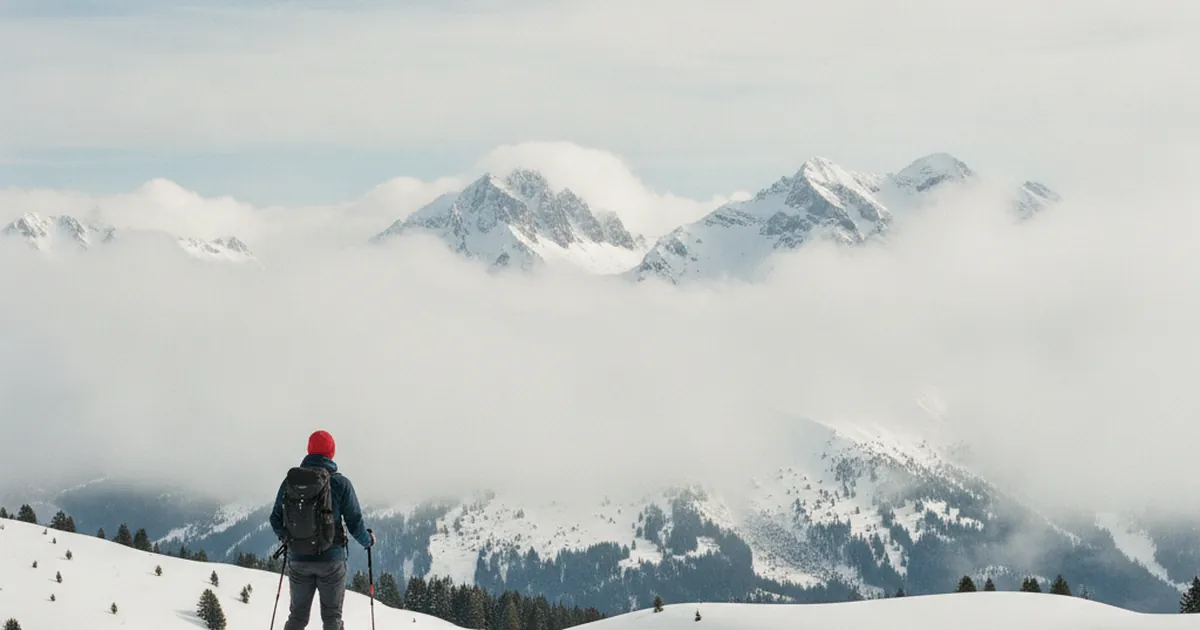
Whether you're clipping on snowshoes or skinning uphill for the first time this season, the avalanche bulletin deserves at least as much attention as the weather forecast. Many hikers skim it or skip it entirely. Yet it's a precise tool, updated every morning, designed to give you an honest picture of the snowpack. Early in the season, when the snow hasn't yet consolidated, knowing how to read it makes a real difference.
What is an avalanche bulletin?
The avalanche bulletin is published daily by Météo France's mountain forecasting service. It covers the Alpine massifs by geographic sector and assesses avalanche risk for the coming day, sometimes two days out. It's not a ban on going out: it's a snapshot of the snowpack with a danger rating, broken down by aspect and elevation band.
In France, the bulletin covers sectors such as the Northern Pre-Alps or the Chablais. Whether you're out in the Chablais or the Aravis and Bornes ranges, you'll find your sector's bulletin on the Météo France website or in the Météo Neige app.
The risk scale: 5 levels to know
The scale is pan-European, shared across all Alpine countries. It runs from 1 to 5:
- 1 (Low): spontaneous avalanches very unlikely. Generally safe conditions.
- 2 (Limited): localized risk on steep slopes. The most common level.
- 3 (Considerable): notable risk. A lone hiker or skier can trigger an avalanche. Stay cautious.
- 4 (High): high risk on most steep slopes. Reserved for experienced practitioners.
- 5 (Very high): massive spontaneous releases. Avoid all travel in avalanche terrain.
Early in the season, level 3 comes up often. The snowpack alternates between hard and weak layers. A slope that looks harmless may conceal a wind slab or buried surface hoar: the two most treacherous avalanche problems in early winter.
The danger rose: reading aspect and elevation
The danger rose is the heart of the bulletin. It's a circular diagram that maps two pieces of information:
- aspect (north, south, east, west, and all directions in between)
- elevation (below and above a threshold, typically 2000 to 2200 m depending on the sector)
A yellow shade means limited risk, orange means considerable, red means high. You can tell at a glance that your target slope, facing northeast at 1,800 m, sits at risk level 2, while a southwest-facing slope at 2,200 m is at level 3. For a snowshoe outing toward the Pointe de Chalune via La Ramaz, which tops out at 2,101 m, this reading tells you exactly which faces to watch given your planned route.
Early-season specifics
From early November to mid-December (sometimes later), the snowpack is inherently unstable. Several factors explain this:
- Buried weak layers: the first snowfalls land on still-warm ground or ice, creating sliding interfaces that persist for weeks.
- Wind slabs: wind redistributes fresh snow and forms dense slabs on leeward slopes, invisible from the surface and easily triggered.
- Shallow total depth: a 30 cm snowpack doesn't absorb shocks the way a 1.5 m one does. Fracture propagation is faster and wider.
- Repeated freeze-thaw cycles: cold nights followed by sunny days degrade the snowpack's internal cohesion and promote surface hoar formation, which gets buried under the next snowfall.
Conditions vary by massif. In the Vallée du Giffre, early-season snowpack tends to be more unpredictable than on some north-facing sectors of the Aravis. But the principle holds everywhere: today's bulletin always takes precedence over memory from previous years.
Where and when to check the bulletin
The bulletin is updated each morning around 8:30 am. Three reliable sources:
- meteofrance.com, Mountains section
- The Météo Neige app by Météo France
- data.avalanches.org, the pan-Alpine portal
For a day trip, read it after the morning update. For a weekend outing, check the evening before too: conditions can shift within hours after snowfall or a wind event. Note the risk level, the affected aspects, and the type of avalanche problem described (wind slab, new snow, wet snow): this last point guides your decisions more precisely than the number alone.
Snowshoeing in Haute-Savoie is a wonderful experience, but one that calls for honest preparation. The avalanche bulletin is part of that preparation, just like your boots or your water supply. To find other practical resources before heading out on the trails of Haute-Savoie, take time to browse the available route guides: they often note key aspects for each itinerary, a valuable detail to cross-reference with the danger rose.