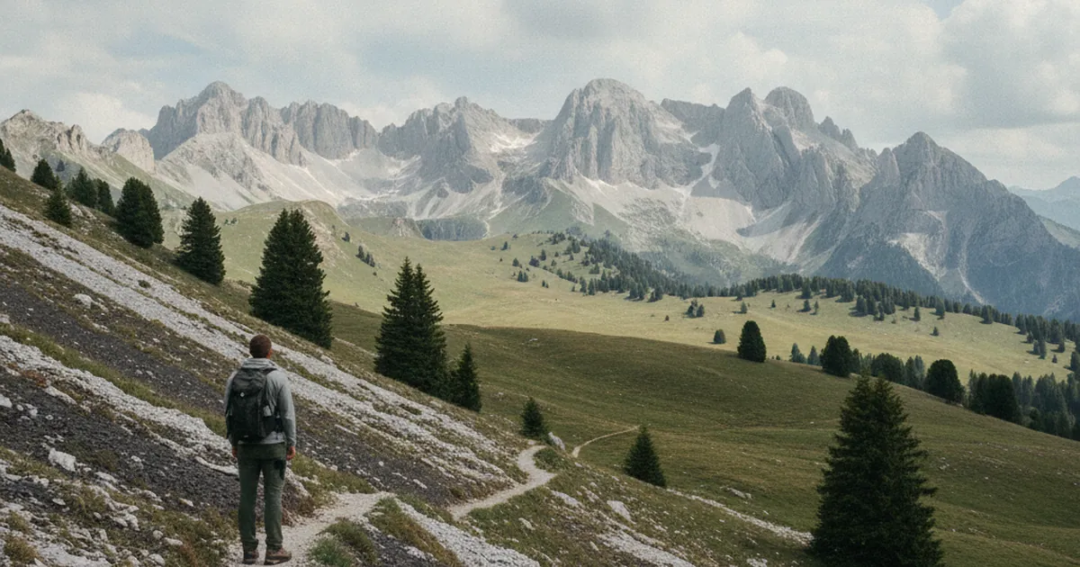
The Faucigny is a corner of Haute-Savoie that many people drive through without stopping. Wedged between busy motorways and overshadowed by more famous neighbours, it rarely makes it onto bucket lists. Yet this territory has its own character, its own landscape, and a history that sets it apart. If you want to hike in Haute-Savoie beyond the most crowded destinations, the Faucigny is worth the detour.
A territory with its own identity
The Faucigny takes its name from a medieval county centred on a castle that once stood above the plain. Today, the word refers to the area stretching from Bonneville to Cluses, running along the Arve valley. Locals still use the name, and the identity it carries remains alive.
Geographically, the Faucigny sits between the Môle massif to the northwest, the Aravis range to the east, the first ridges of the Chablais to the north, and the Giffre valley to the south. It is not a uniform massif: it is a patchwork of rolling hills, wooded slopes, narrow gorges, and small agricultural plateaus enclosed on all sides by mountains.
The landscape changes fast once you leave the valley floor. Villages perched on the slopes, beech and fir forests covering the north-facing flanks, pastures opening up at altitude: the Faucigny offers accessible mountain terrain without the crowds that gather around bigger-name destinations.
Le Môle, the Faucigny's landmark summit
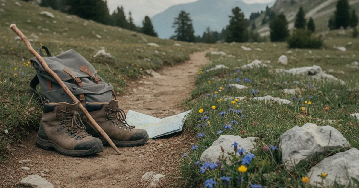
The summit that dominates everything in the Faucigny is Le Môle. Its pyramid silhouette is visible from the entire Arve plain, and on clear days it serves as a natural focal point. Most hikers who spend time in the area will have their eyes on it sooner or later.
The route from Saint-Jeoire offers the most complete way to experience this summit. The Môle from Saint-Jeoire covers 17 km with close to 1,500 m of elevation gain, rated very hard. It is a demanding outing reserved for experienced mountain walkers. The reward at the top is a broad panorama taking in Lake Geneva to the north, Mont-Blanc to the east, and the Aravis ridgeline to the south.
For those who want to explore the Môle massif without tackling the full ascent, shorter variants exist from Marignier and La Tour. The massif works at different levels depending on how much time and energy you have.
Quieter trails around Taninges
The Faucigny is more than Le Môle. Between Taninges and Ayse, the slopes hold circuits that stay uncrowded even at the height of summer. These routes cross varied terrain without drawing the numbers that more publicised trails attract.
From Taninges, the Les Têtes from Plaigne d'Étry loop is a moderate-grade walk climbing to open ridgelines with views across the Faucigny plateau and the Giffre heights. It takes just over three hours to complete, making it a solid half-day option. Well-maintained trails, an unhurried pace, and very few people on the path.
Further north, the forested paths linking Marignier to Saint-Jeoire offer a quieter style of walking: tree cover, discreet waymarking, and a calm that is hard to find on more visited circuits. This is precisely the kind of hiking the Faucigny does well.
The Arve valley as a backbone
The Arve valley runs through the heart of the Faucigny from east to west before heading towards Geneva. Known for its industrial towns and busy roads, the valley conceals, at altitude, natural areas that reveal themselves the moment you leave the valley floor.
The north bank of the Arve rises sharply from Bonneville to Ayse, giving way to wooded cliffs and farming slopes. The south bank faces the first ridges of the Aravis. Between the two, tributaries and gorges have carved passages that old mule tracks have followed for centuries.
Starting from Bonneville, Marignier, or Ayse and heading up to the ridgelines offers a completely different perspective on this valley. From above, the motorway below looks like it belongs to another world entirely.
The Faucigny as part of a larger trip
If you are building a hiking trip around this part of Haute-Savoie, the Faucigny slots naturally into a wider programme. Its central position makes it easy to combine with outings in the Aravis to the east, the Chablais to the north, or the Giffre valley to the south.
Bonneville is the practical base for the area. Well-connected by public transport, it puts most trailheads within twenty minutes by car and works as a convenient stopover if you are passing through the region.
The Faucigny does not have the name recognition of the big Alpine destinations. That is precisely the point: quiet paths, a mountain that does not overwhelm, and a Haute-Savoie that still feels unscripted. For those looking to hike without the crowds, it delivers.