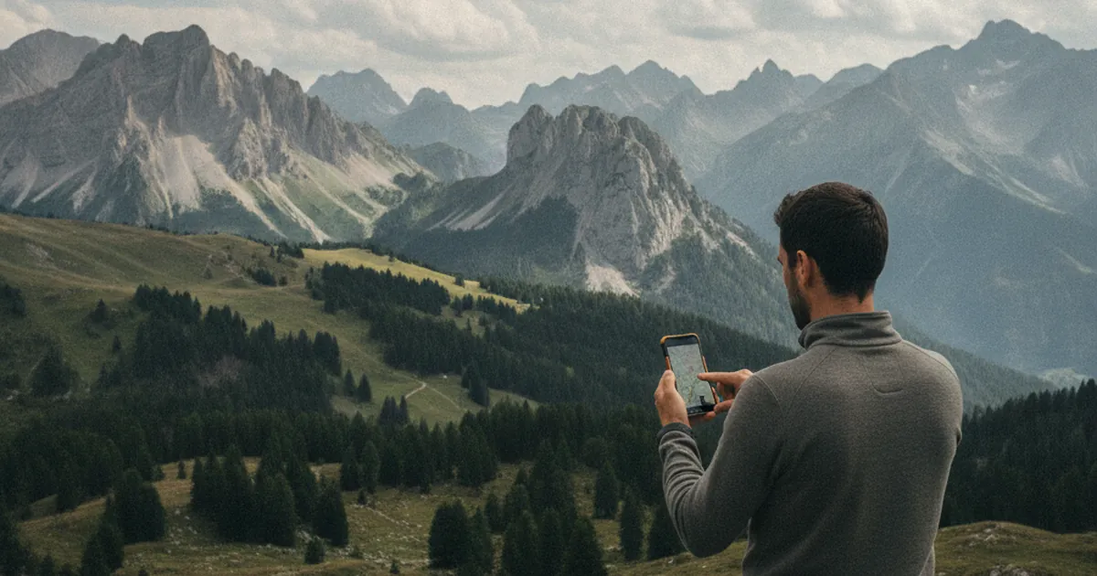
Spending a few minutes analysing a GPX track before you head out can save you a lot of surprises on the trail. A GPX file is not just a route to follow: it is a map of the terrain, provided you know how to read it.
The elevation profile: your first clue
This is usually the first thing people check, and for good reason. But reading an elevation profile means more than noting the total ascent. What really matters is how that elevation gain is distributed across the route.
- 800 m of climbing spread over 8 km is a steady gradient, manageable at a comfortable pace.
- The same 800 m compressed into 2 km is a very steep section that demands both technique and strong legs.
Also look for false flats, intermediate plateaux, and descents followed by climbs back up: these are often forgotten when estimating the real effort. A there-and-back route in the mountains can easily rack up much more cumulative elevation gain than the headline figure suggests. Note too whether the descent follows the same trail as the ascent or takes a different face, since that completely changes the strain on your knees.
Spotting technical sections on the map
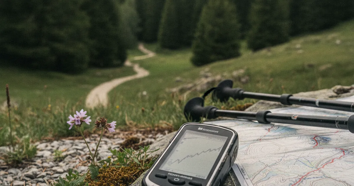
Overlay the GPX track on a topographic map with contour lines. Closely packed contours signal steep terrain. On tools such as Komoot, Wikiloc, or Caltopo you can display slope angle as a colour gradient, which makes the analysis very intuitive.
Zoom in on narrow ridges, off-path sections, or exposed stretches. Several routes in the Aravis massif include ridgeline sections where the wind can be fierce and snow lingers well into June. Nothing in the elevation profile hints at this, but a careful look at the topo map will flag it clearly.
If you often hike from Talloires-Montmin, you will know that routes like La Tournette from Montmin involve metal chains and slippery limestone when wet. That kind of detail rarely appears in the headline description, but a close reading of the trace, with its sharp slope changes and stretches where no clear path is visible, puts you on alert well before you leave home.
Water sources and mountain huts: no room for improvisation
The track alone will not tell you where the springs are. Cross-reference it with external sources such as route descriptions on hiking websites, IGN 1:25,000 maps, or comments from other hikers, to plan your water supplies.
- Note the altitude of any huts or known springs along the route.
- In August many seasonal springs run dry. Always carry a comfortable margin.
- If the route passes an alpage, the fountain pipe is usually reliable, but never guaranteed.
Family-friendly routes like the Lac aux Dames loop have well-documented water points and enough foot traffic to make navigation straightforward. On wilder and less-frequented outings, a more cautious approach is wise and prior analysis becomes even more valuable.
Estimating your timing with care
The duration listed on a route description typically applies to a fit hiker walking without many stops. For a family outing, with children, or on a very hot day, build in a meaningful buffer.
A simple rule: allow for 400 m of positive elevation gain per hour at a moderate pace, and add 15 to 20 minutes per flat kilometre. Lunch breaks, photo stops, and hesitation at junctions add up quickly. Fail to factor them in and you may find yourself finishing in the dark without having planned for it.
It is also worth identifying your point of no return on the track. This is the moment when turning back takes as long as pressing on to the finish. Knowing it in advance lets you make a calm decision if the weather turns mid-route, without the lure of the summit skewing your judgement.
Tools for analysing a GPX track
Several apps and websites let you analyse a GPX track before setting off, each with its strengths:
- Komoot: detailed elevation profile, surface type, and automatic time estimates adapted to your fitness level.
- Wikiloc: large community-sourced database with real-world photos and very useful field comments.
- Caltopo: advanced mapping tool, ideal for layering topo maps and visualising slope angles in colour.
- Géoportail (IGN): France's official 1:25,000 maps online, perfect for fine-grained terrain checks.
- GPXSee: free desktop software for opening and exploring any GPX file without an internet connection.
Ideally, combine at least two tools: one for the elevation profile and one for the cartography. The information they provide is complementary, and seeing the same route from two angles reduces blind spots.
Hiking the trails of Haute-Savoie means encountering a wide variety of terrain, from waymarked family paths to exposed ridges that call for real experience and caution. Reading the track before you leave is simply a way of giving yourself the means to choose the right route for the right day, with the right preparation. A few minutes of analysis at home are worth far more than half an hour of doubt at 2,000 metres.