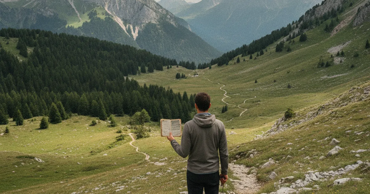
You probably don't think twice about slipping a trail guide into your pack before heading out. Yet that small booklet represents a genuine revolution in how people experience mountain hiking. Before it existed, hiking in Haute-Savoie or anywhere in France meant either knowing the terrain intimately or hiring a local guide. Here's the story of how that changed.
19th-century predecessors
The idea of describing hiking routes in writing goes back further than you might think. In 1841, Adolphe Joanne began publishing travel guides with Hachette. These eventually evolved into the famous Guides Bleus after World War One, covering entire regions of France and Europe. But they were written for travellers on stagecoaches and trains, not for walkers looking to push into forests or cross mountain passes.
Meanwhile, German Baedeker guides described major Alpine destinations for wealthy alpinists. They included route descriptions, accommodation advice and distances measured in walking hours. Detailed and rigorous, but reserved for an elite who stayed in grand hotels and hired porters.
The Club Alpin Français breaks new ground
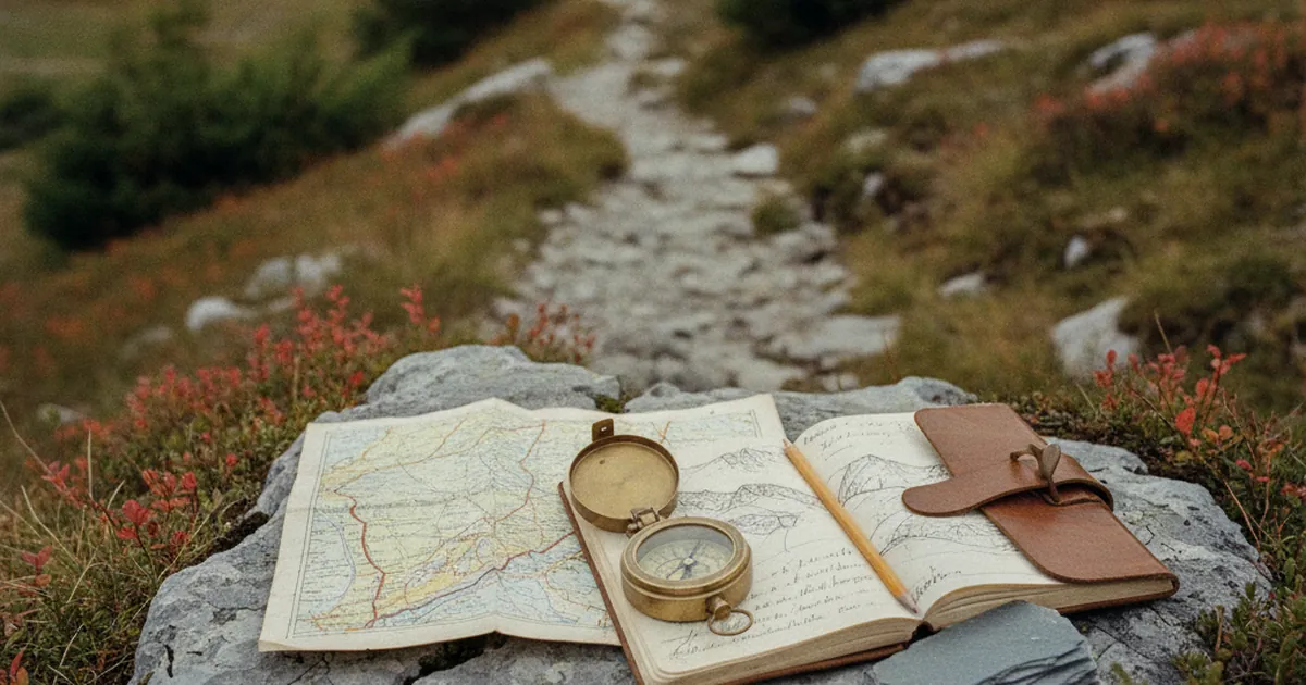
The founding of the Club Alpin Français in 1874 marked a turning point. The CAF regularly published bulletins in which members shared their ascent accounts, with increasingly precise route descriptions. These weren't yet topo-guides in the modern sense, but they laid the groundwork: technical route description, landmarks, hazards to anticipate.
Around the turn of the 20th century, a handful of regional guides started appearing, focused mainly on Alpine and Pyrenean summits. They targeted experienced practitioners. The family hike, the Sunday walk, had no dedicated literature yet.
1947: the FFRP invents the modern topo-guide
The real break came after World War Two. In 1947, the Fédération Française de Randonnée Pédestre (FFRP) was founded, driven by the conviction that mountain walking should be accessible to everyone. It launched two simultaneous projects: marking a national network of long-distance hiking trails (the GR routes) and publishing standardised guides to accompany them.
The FFRP called these guides "topo-guides," a trademarked term. The format quickly standardised: maps at 1:50,000 or 1:25,000 scale, step-by-step descriptions with walking times, and practical information on accommodation and transport. For the first time, a walker unfamiliar with a region could plan a route from home and follow it alone in the field.
The GR 5, crossing the Alps from Lake Geneva to Nice, was among the first GR trails to be marked and documented in a topo-guide. It passes through parts of Haute-Savoie well known to today's hikers. That standardisation changed everything: hiking stopped being the preserve of insiders.
A democratisation that transformed the mountains
The impact of topo-guides on trail use was immediate and lasting. Families began venturing onto routes previously known only to shepherds and hunters. In areas like the Bauges, villages such as Entrevernes and Allèves started receiving walkers from across France, map in hand, looking for unspoilt, accessible nature.
Trails multiplied, waymarking grew denser, tourist offices began printing their own route sheets. The topo-guide spawned an entire culture with its own codes and rituals: ticking off stages in pencil, annotating tricky sections in the margins, comparing successive editions to see what had changed on the ground.
Paper versus digital: the topo-guide holds its own
Smartphones have upended everything. Apps offer thousands of geolocated routes, downloadable GPX tracks and user reviews. The FFRP itself has moved into digital, making its content available online.
Yet the paper topo-guide hasn't disappeared. Many experienced hikers stick with it for practical reasons (no battery to manage, no signal required) as much as sentimental ones. There's something different about holding a well-worn guide, annotated over years of outings, compared to staring at a screen.
On the trails of the Bauges valley, as on the wilder ridges you discover hiking La Figlia from Allèves or the Entrevernes mountain, both practices coexist. The hiker with the booklet and the hiker with the phone share the same paths without friction. What matters is the walking.
Next time you open a topo-guide, spare a thought for everything that had to be invented to make that small book possible: a network of volunteer waymarkers, a federation convinced that the mountains belong to everyone, and a few decades of collective effort. Not bad for something most of us stuff into the bottom of our pack without a second thought.