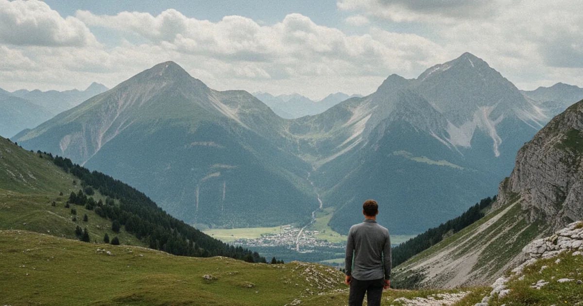
Marignier sits at the confluence of the Arve and Giffre rivers, around 470 metres above sea level, where the Arve Valley meets the road to the Giffre Valley. This junction position, often overlooked, makes it an excellent base for hiking in Haute-Savoie in several directions at once. Le Môle towers to the west, the Andey ridge profiles to the north, and the Pointe d'Orchex closes the horizon towards the Chablais. You can easily spend two or three days in Marignier and set off each morning towards a different summit, without moving your car for a long transfer to another trailhead each time.
Le Môle from Marignier: the benchmark climb
Le Môle (1,863 m) is the summit you can't miss from the valley floor. It stands nearly 1,400 metres above Marignier, which already tells you something about the day ahead. The Môle hike from Marignier starts at the Delanchy district and traces a 16.24 km loop with 1,600 m of elevation gain. Allow around 5h50 at a steady pace. It's rated very hard, and that's not an overstatement: the ascent is sustained, the terrain shifts character several times, and the cumulative elevation gain from the valley is significant. The best season runs from June to October, once late snow has left the summit.
At the top, views over the Geneva basin and the surrounding ridges make the effort worthwhile. No reliable water source is marked on the route: set off with 2.5 to 3 litres per person. Start early, especially in July and August, to beat the afternoon thunderstorms that build quickly over these exposed ridges.
Mont d'Orchez: a more accessible alternative
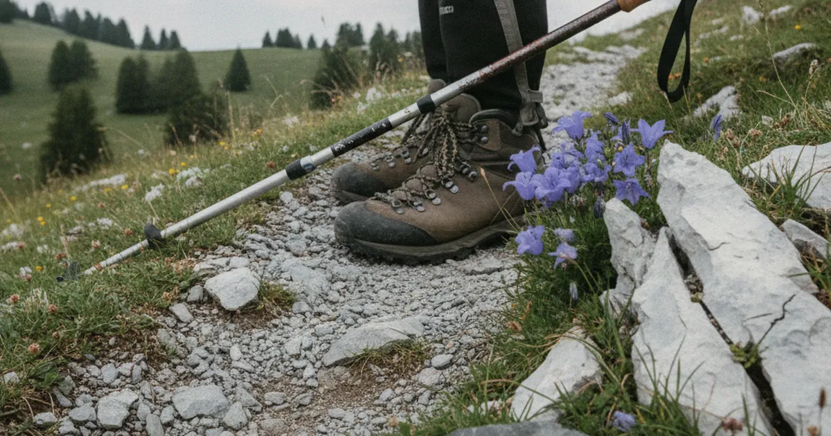
A few minutes by car towards Cluses, Châtillon-sur-Cluses offers a noticeably less demanding hike. The Mont d'Orchez loop covers 6.49 km with 621 m of elevation gain and takes around 2h15. Rated moderate, this circuit suits hikers with a reasonable base level of fitness. The summit reaches 1,338 m with views back down the valley and across the neighbouring massifs. It's a sound option for an afternoon outing, or for members of the group who prefer a lighter day while others take on Le Môle. Same recommended season, same water rule: no source along the route, carry at least two litres.
Andey and Pointe d'Orchex: complementary horizons
The Andey lies to the north-west of Marignier, between the Arve Valley and the foothills of the Chablais. It offers a different perspective to Le Môle, with generally quieter slopes than the sector's big classics. The Pointe d'Orchex looks towards the Chablais ridgeline and the southern shore of Lake Geneva. Both destinations are natural options for a multi-day star hike from Marignier, where each day points towards a different horizon. Check up-to-date route descriptions and local conditions before heading out: trail marking and path quality vary with the seasons.
Planning a star-hike stay from Marignier
The logic of star hiking is straightforward: cut unnecessary transfers. You drop your bags in Marignier and head towards a different summit each morning. Here's one way to pace it over several days:
- Day 1: the ascent to Le Môle from Delanchy. Start no later than 7 am in summer to avoid the afternoon storms and the heat lower on the climb.
- Day 2: the Mont d'Orchez loop from Châtillon-sur-Cluses, shorter and well-suited to recovering after the previous day's effort.
- Day 3: head towards Andey or the Pointe d'Orchex depending on available route notes and the day's weather forecast.
Marignier has local shops for supplies. Pack your bag the evening before: water, energy snacks, warm layers even in July, solid hiking boots. Mountain storms arrive fast, and valley weather rarely matches conditions at 1,800 metres.
Practical information
Marignier is accessible from Bonneville or Cluses along the main road that follows the Arve. The town has a SNCF train station, handy for arriving from Geneva or Annecy without a car. For mountain hikes, a vehicle remains useful for reaching trailheads when routes don't start directly from the town centre.
For Le Môle from Delanchy, the trailhead is in a residential area of Marignier: no paid parking, no shuttle to organise. For Mont d'Orchez from Larroz in Châtillon-sur-Cluses, add a few minutes of driving. Outside the summer season, check access conditions: some higher sections can be icy or snow-covered from autumn onwards.
Marignier isn't the busiest destination in Haute-Savoie, and that's precisely what makes it a practical base for a hiking trip without the crowds. The variety of summits reachable in a single day from the valley floor is enough to fill a full week, alternating between challenging ascents and quieter walks depending on form and motivation.