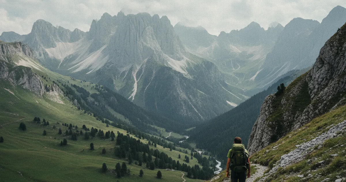
If you've ever planned a hike in the French Alps, you've likely come across this rule of thumb: allow one hour for every 300 meters of elevation gain. Simple, quick to calculate, easy to remember. But is it actually reliable? The short answer: not always. Here's a closer look, so you can plan your day in Haute-Savoie's mountains without running out of daylight on the descent.
Where does this rule come from?
The 300 m/h rule is common in French-speaking hiking culture. It's a simplified version of Naismith's Rule, formulated in 1892 by Scottish mountaineer William Naismith. His original formula estimated 5 km/h on flat terrain, plus an additional hour for every 600 meters of ascent. The more conservative 300 m/h figure implicitly accounts for rougher terrain, short breaks, and an average hiker rather than a trained alpinist.
Swiss hiking federations use a slightly different formula: one hour per 4 km of horizontal distance, plus one hour per 400 m of ascent. No single formula works for everyone. They give you a ballpark, not a guarantee.
What the rule actually tells you
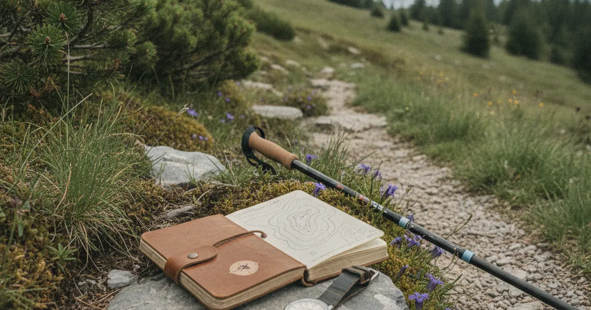
In practice, if a hike gains 900 meters of elevation, the rule gives you roughly 3 hours of climbing. Add time for flat sections (typically 4 to 5 km/h for an average hiker), the descent (often underestimated), and your breaks. Descent typically takes 60 to 75 percent of the ascent time, depending on terrain and gradient.
The result is a starting estimate, not a guaranteed finish time. It assumes reasonable fitness, a well-marked trail, and terrain that isn't too technical. In the massifs of Haute-Savoie, all three conditions are rarely met at the same time.
When the rule breaks down
Several factors can push your actual time well beyond the estimate:
- Terrain: on a smooth, graded trail the rule holds fairly well. On scree, slabs, or rocky ridgelines, you can easily drop to 150 m/h or less. Technical routes to exposed summits often take twice the calculated time.
- Pack weight: a 6 kg daypack and an 18 kg overnight bag are very different loads. Above around 10 kg, add 20 to 30 percent to your estimated time.
- Heat: in summer, fatigue builds faster. A south-facing climb in full sun will slow down even experienced hikers.
- Altitude: above 2,000 m, thinner air takes a toll if you're not acclimatized. The 300 m/h rule is calibrated for moderate elevations and tends to overestimate your pace higher up.
- How you feel that day: a short night, a cold coming on, or a heavy work week changes everything.
Adjusting for your level
Here's a simple framework for calibrating your personal rule:
- Beginning hikers: budget 200 to 250 m/h for elevation gain. Give yourself plenty of extra time, especially on trails with technical sections.
- Regular hikers: 300 m/h usually holds well on decent terrain. This is the profile the rule was designed for.
- Fit, experienced mountain hikers: you may climb at 400 or even 450 m/h on good paths. Use the 300 m rule as a floor, not a ceiling.
A practical way to calibrate: record your actual times on hikes you know, compare them with the theoretical estimate, and find your personal coefficient. Many regular hikers land around 1.1 to 1.2 times the Naismith estimate on mixed terrain.
Putting it into practice
Before you set out, note three things from your map or trail guide: total elevation gain, horizontal distance, and type of terrain (marked trail, off-trail, rock). Calculate a baseline using the 300 m/h rule for elevation, plus one hour for every 4 to 5 km of flat. Add 15 to 20 percent for breaks and the unexpected. Cross-check with reports from other hikers on similar routes.
A route like La Tournette from Montmin, with its sustained elevation gain and sometimes exposed terrain in the Aravis-Bornes massif, deserves a comfortable time buffer. The same applies to routes heading into the high ridges of the Pays du Mont-Blanc, where altitude and relief complicate any estimate.
If you're new to the area and want to test your pace on well-mapped terrain, the Pointe de Nantaux, accessible from the Mieussy area, makes a solid benchmark: consistent elevation gain, a clear trail, and a 2,170 m summit that lets you gauge the effect of altitude on your rhythm.
The 300 m/hour elevation rule is useful precisely because it's simple. But simplicity has its limits in the mountains. Use it as a starting point, then adjust for terrain, your fitness on the day, and the weather forecast. Leave a safety margin and never cut it short. It's always better to reach the hut with an hour to spare than to lose the trail after dark.