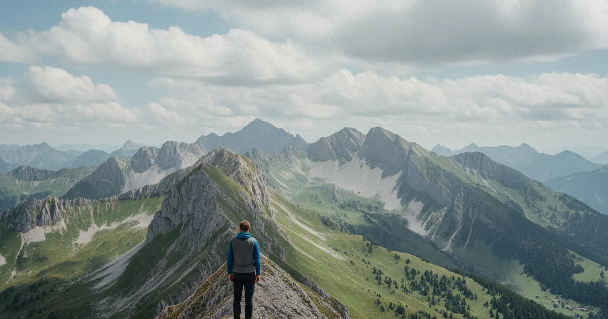
The Chablais is not just about picturesque valleys and villages. Up on the heights, a long ridge line crosses the entire massif, linking the cols to the great summits. Walking this ridge in several outings is a way of understanding Chablais geography that no map can fully convey. From the Pointe de Nantaux to the Dent d'Oche, there are plenty of landmarks to help you plan your days hiking in Haute-Savoie.
One ridge, many characters
The Chablais is listed as a UNESCO Global Geopark, and that recognition owes a great deal to the geological diversity of its ridges. Around Montriond and Morzine, the summits rise to around 2,100 to 2,200 metres. Further north towards Lake Geneva, the relief gradually drops but remains rugged. In between, cols and high pastures provide natural entry points to reach the ridge without unnecessary effort.
What stands out on the ridge is the contrast of terrain. Grassy slopes dotted with chalets give way to limestone slabs, then boulder fields depending on aspect and altitude. Each section has its own character, its own atmosphere, and its own views between the French and Swiss sides.
From Nantaux to Morzine: the central spine
The Pointe de Nantaux at 2,164 m is often the first summit mentioned when talking about the central Chablais ridge. It is a clear visual landmark from the surrounding valleys, and a solid first objective for anyone who wants to explore the line in stages. The approach from Montriond is direct, with substantial elevation gain but well-marked trails.
To the west, the Pointe de Ressachaux (2,166 m) continues this ridge above Morzine. Both summits share the same character: grassy ridges on the approach, wide views over Lake Geneva in good weather, and a certain quietness even at the height of summer. The Pointe de Ressachaux hike from Morzine is a 10 km loop with 1,172 m of elevation gain, rated hard. Demanding but without any technical passages.
From Morzine, several trailheads give access to this central ridge section, making it a natural base for back-to-back outings in the area.
The Mines d'Or sector and the Col de Coux
The Col de Coux is one of the border crossings that punctuate the ridge, straddling France and Switzerland. The Col de Coux via the Mines d'Or is a classic route in this sector: a steady climb to 1,916 m over roughly 2h35, with a manageable 616 m of elevation gain. A good option for hikers who want to reach the ridge without committing to a demanding full-day objective.
The old miners' paths crossing this area are now well-maintained trails, popular but never overcrowded. Several loop routes link these passages across open alpine pastures, with unbroken views of the surrounding summits.
Towards the Dent d'Oche: the northern massif
The Dent d'Oche (2,222 m) is the emblematic summit of the northern Chablais. From its slopes the view takes in all of Lake Geneva, the Jura across the water, and on clear days the high Valais Alps to the east. Access is mainly from Bernex or from the high pastures climbing towards the Swiss border.
This northern sector is more pastoral, calmer. The approach terrain lacks the alpine character of the central sections, but the summit arrival is spectacular. The Roc d'Enfer (2,244 m) completes the picture in the eastern part of the massif.
The villages of Bellevaux and the surrounding valleys provide quiet trailheads into this northern ridge country, well away from the ski-resort crowds. A different face of the Chablais, less visited, with mountain pasture atmosphere that shifts noticeably from month to month.
Planning your exploration section by section
The Chablais ridge is not realistically walkable in a single day. Breaking it into focused outings makes far more sense:
- Montriond / Nantaux sector: suited to hikers comfortable with steep gradients and big elevation gain.
- Morzine / Ressachaux sector: reachable from central Morzine, doable as a day loop.
- Mines d'Or / Col de Coux sector: historically rich and scenic, less demanding than the two above.
- Northern sector / Dent d'Oche: pastoral on the ascent, open and dramatic at the top.
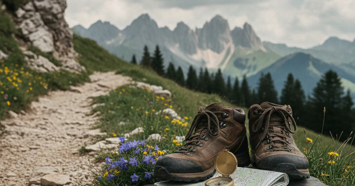
June through October suits all these sections. On the ridges, reliable water sources are scarce beyond the alp zone: carry at least two litres per person. Summer storms build fast; check the local forecast before each outing and start early. A topo map remains essential on the quieter sections.
The Chablais ridge offers a reading of the massif that few hikers ever explore in full. Break it into coherent sections and each outing takes on its own identity. Whether you arrive from Morzine, Montriond, or the communes along the northern slope, there is always a view you did not see coming.