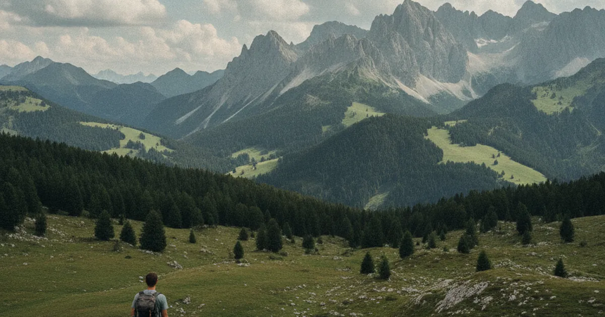
You've found a great-looking trail description online: the photo is stunning, the title is enticing. You scan the numbers — 12 km, 800 m elevation gain, difficulty rated "moderate" — and you head out. But once you're on the trail, "moderate" can mean very different things depending on who wrote the topo. Knowing how to read these figures properly is the foundation for picking a hike that matches your level and making it back home happy, whether you're exploring the trails of Haute-Savoie for the first time or the hundredth.
The three core figures
Distance (km), elevation gain (D+), and estimated time are the three pillars of any serious trail description. But taken in isolation, each one can mislead you.
Distance alone tells you nothing about difficulty. 10 km through flat woodland bear no resemblance to 10 km of alpine terrain with technical passages. What matters is how distance combines with elevation gain.
Elevation gain (D+) is the cumulative sum of all uphill sections on the route. A rough guide: under 400 m for easy walks, 400 to 800 m for intermediate outings, over 800 m for serious hikers, and over 1,000 m for those who hike regularly. A D+ of 1,500 m or more in a single day is a committing route, even on a marked trail.
Estimated time is usually calculated using the Naismith rule (roughly 300 m of elevation gain per hour, 4 km/h on flat ground). This doesn't factor in your breaks, terrain conditions, or how you're feeling on the day. As a general rule, add 20 to 30 percent to the stated time if you're a regular but not expert hiker.
Difficulty ratings: a code that varies by source
Labels like "easy", "moderate", and "hard" mean different things on different websites and trail guides. What one platform calls "moderate" might be genuinely challenging for a beginner or straightforward for an experienced mountain hiker. Some topos use the CAS/SAC scale (T1 to T6), others use the FFME grading system or their own star ratings.
The CAS/SAC scale is the most widely used in mountain hiking:
- T1: Walking, well-marked path, no hazards
- T2: Mountain hiking, marked trail, no particular danger
- T3: Demanding mountain hiking, some off-trail sections, occasional handholds
- T4: Alpine hiking, solid experience required, some exposed sections
- T5: Difficult alpine hiking, varied terrain, strong route-finding skills needed
- T6: Very difficult alpine hiking, experienced alpinists only
If the topo you're reading doesn't use this scale, read the description carefully. Keywords like "exposed sections", "fixed rope", "off-trail", "airy ridge", or "loose rocky terrain" signal technical difficulty beyond a standard marked trail.
What the topo doesn't always tell you
Even a well-written trail description can't anticipate everything.
Snow conditions
In Haute-Savoie, especially in the Annecy-Bauges massif and the Giffre valley, some passes stay snow-covered well into July in big winters. A T3-rated summer route can become a significantly more serious undertaking in spring or after a heavy snowfall. Always check current conditions, not just the topo card.
Exposure
Two hikes with the same elevation gain and distance can have radically different profiles. One weaves through forest; the other follows a ridge with a sheer drop on one side. The route description will give you clues: read it for real, not just the numbers.
Trail conditions
Summer storms carve out gullies, rocks come loose, and trail sections can disappear altogether. A topo from last year may no longer reflect what you find on the ground. Recent comments from other hikers are often more reliable than an official trail card for judging current conditions.
The descent
Many hikers underestimate the descent. It taxes your knees, demands concentration, and typically accounts for 40 to 50 percent of the total elevation change to manage in your legs. A topo showing 600 m D+ generally means 600 m of descent too: that's 1,200 m of total vertical movement to absorb in a day.
Calibrating your own level
The best way to read a topo is to compare it with hikes you already know. Have you climbed the Montagne d'Entrevernes from Allèves? Then you know what roughly 700 m of D+ on grassy terrain with some steep sections feels like in your body. Have you done the Reray loop? That's another reference point you can anchor new routes to.
Start logging your actual times on a few outings and compare them to the topo estimates. If you consistently run 30 percent over the stated time, factor that into your planning. If you're on pace or ahead, you're moving well. This kind of personal calibration is worth more than any generic difficulty rating.
In practice: always start a new route slightly easier than you think you can handle. The mountains reward patience and build on experience. Once you have the measure of a trail, you can always push further next time.
Your turnaround time
Before every departure, set yourself a hard turnaround time. If you haven't reached the summit or key waypoint by that hour, you head back. No negotiation. This simple rule saves lives every summer in the Alps. Distance, elevation gain, and difficulty ratings count for nothing if you keep pushing when fatigue sets in or the weather turns.
Reading a topo is a skill you build hike by hike. The numbers are a starting point, not a guarantee. Combine them with the terrain description, current conditions, and your honest self-knowledge. That's how you improve, avoid nasty surprises, and spend more great days hiking in Haute-Savoie.