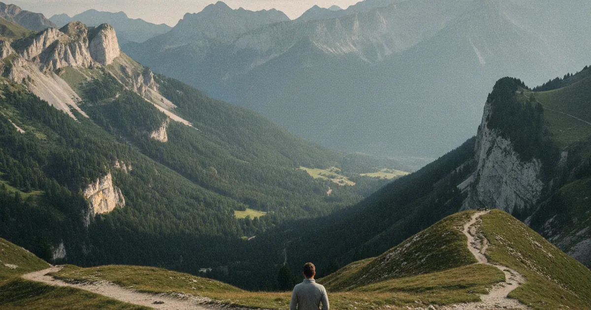
Between Bonneville and Taninges, the Risse valley cuts through a stretch of Haute-Savoie that refuses easy classification. Neither fully Faucigny nor quite Chablais, the area around Saint-Jeoire and Onnion holds a pivotal position that hikers tend to appreciate for a straightforward reason: within a few kilometres, the landscape shifts from one massif to the other, the slopes change character, and the trails deliver viewpoints you simply won't find in the neighbouring valleys. This is the kind of place worth exploring if you want to hike in Haute-Savoie without following the most-trodden routes.
Saint-Jeoire, crossroads of the Faucigny
Saint-Jeoire-en-Faucigny is a lively market town set at the bottom of the Risse valley, where the road splits towards Taninges and the Giffre on one side, and towards Boëge and the Chablais on the other. The town long served as a staging post between the lowland fairs and the high-altitude pastures. Today it functions mainly as a practical base for a series of out-and-back or loop hikes fanning out in every direction.
The most demanding trail in the area, and the one with the strongest reputation, is the ascent of Le Môle from Saint-Jeoire. Le Môle reaches 1,863 m, and the full loop from Le Turchon covers 17 km with 1,483 m of elevation gain. Expect a full day out; the route is rated very difficult. The summit panorama makes it worthwhile: the entire Northern Alps stretch out before you, from Mont Blanc across to the Aravis. Le Môle is visible from dozens of kilometres around, and climbing it from Saint-Jeoire means traversing the mountain from base to top on both flanks.
For shorter days or for hikers looking for a mid-range objective, the Reray area provides a solid alternative. The Col du Reray and Grand Château route covers around 9 km with 886 m of ascent to reach 1,198 m. The loop is rated difficult but well within reach of a regular hiker: the intermediate ridges already give good views over the Risse valley and the neighbouring Chablais relief.
Onnion, where the Chablais begins
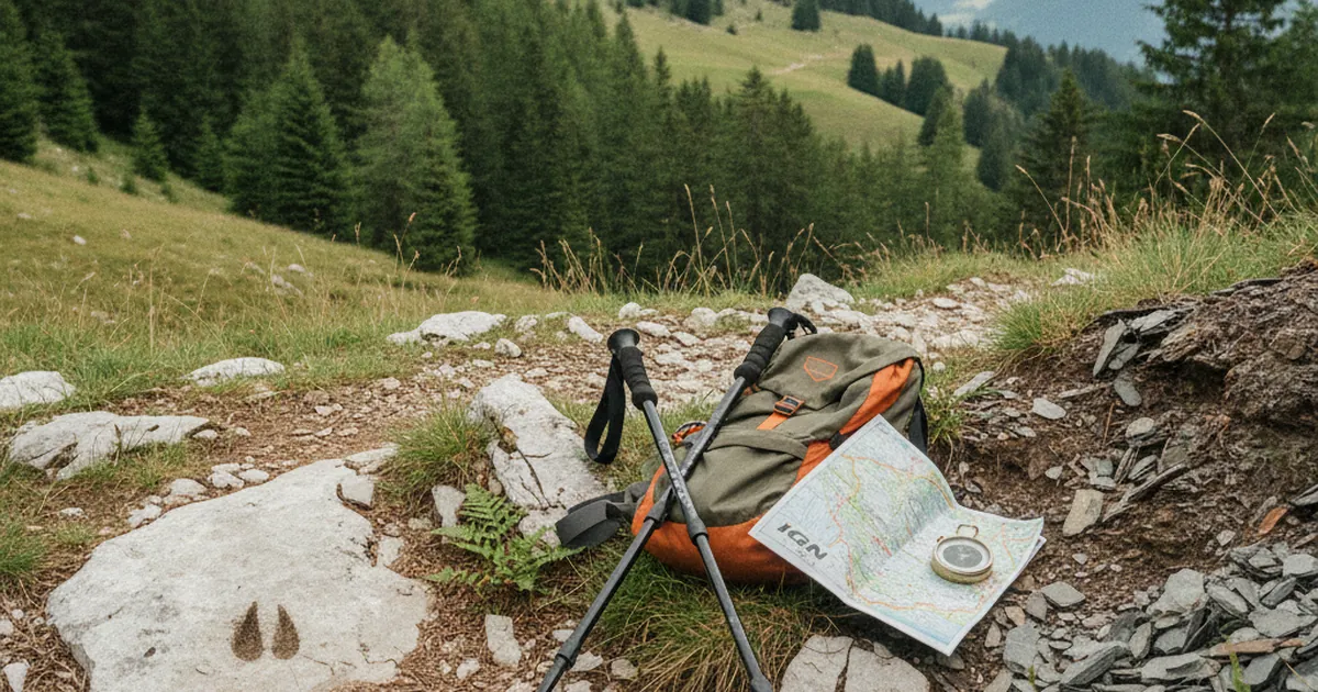
A few kilometres above Saint-Jeoire, the village of Onnion already belongs to the Chablais. This is not just an administrative boundary: the architecture, the shape of the hamlets, and the vegetation all shift subtly as you climb from the valley. Onnion is a genuine mountain village, with its scattered hamlets across the slopes, its summer pastures, and its open views towards Lake Geneva on a clear day.
The main hike around Onnion is the Tour du Mont d'Orchez. At 6.5 km with 621 m of elevation gain and a summit at 1,338 m, this loop is accessible to a reasonably fit hiker. The main draw is the view over the Chablais and the Rhône plain: standing on the ridge, you grasp the position of this territory much more clearly, caught between the first crests above Lake Geneva and the deep-cut valleys of the Savoyard interior.
The village itself deserves a moment of attention. The Chablais-style farmhouses, the stone fountains, the double-door barns: all of it tells the story of a mountain economy that ran on livestock and the movement of goods. Today Onnion remains quiet and little visited, which is precisely what makes it a pleasant starting point for a crowd-free day on the trail.
A territory between two massifs: what it means in practice
The position between Faucigny and Chablais is not merely a cartographic detail. It has real consequences for what you will find on the ground.
- North-facing slopes (towards Faucigny and the Giffre valley) stay cool in summer and hold snow longer at the start of the season.
- South- and west-facing slopes (towards the Chablais and Lake Geneva) open up earlier in spring and dry out faster in July and August.
- The watershed ridges, such as Mont d'Orchez and Le Môle, offer a simultaneous view over both sides. This dual panorama is one of the area's real assets.
- Foot traffic is noticeably lower than in the neighbouring valleys. The Aravis, the Giffre, and the Mont Blanc area draw the bulk of summer visitors. Saint-Jeoire and Onnion remain under the radar.
When to go and how to get there
The best window for this area runs from May to October. In July and August the trails are fully open. Spring, particularly May and June, is especially pleasant on the south-facing slopes, with flowering meadows and the first clear long-distance views. Autumn brings colour to the beech and chestnut forests that cover the lower hillsides.
Saint-Jeoire is accessible by road from Bonneville (around 20 km) or from Cluses via Taninges. A regional bus line serving the Risse valley connects the town to Bonneville without a car. For Onnion, the road climbs from Saint-Jeoire along a narrow, winding route: allow an extra twenty minutes or so by car.
What stays with you
Saint-Jeoire and Onnion are not dramatic destinations in the usual sense. There is no turquoise high-altitude lake, no glacier for a backdrop. What you find instead is a coherent, still-quiet territory with its own geographical logic and trails that genuinely help you understand the structure of this corner of Haute-Savoie. The transition from Faucigny to Chablais is not just a line on a map: it is a shift you can read in the landscape, the villages, and the vegetation. Coming here is choosing understanding over the picture-postcard.